River Severn Locks & Weirs
The locks and weirs of the River Severn are an integral part of its navigation infrastructure. Originally built to guarantee the depth of water for commercial traffic, they continue to operate for leisure boats and offer great opportunities for serene riverside walks.
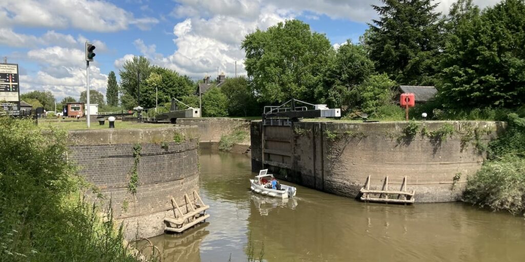
Key info
| Counties | Gloucestershire & Worcestershire |
| Completed | 1843 – 1871 |
| Engineers | William Cubitt & Edward Leader Williams |
| Maintained by | Canal & River Trust |
Visiting guide
You can visit the locks and weirs in any order; however, this guide will recommend starting upriver and journeying down towards the Severn Estuary.
You cannot visit Maisemore Lock because it’s located on private property; however, we have published some photos with kind permission from the landowners.
The following map details each lock and weir including the best places to park. We have included Maisemore Lock and Weir for referencing.
How long does it take to see the River Severn Locks?
Is takes the following amount of time to walk a return journey to each lock and weir from our recommended parking spots:
- Lincomb – 20 mins
- Holt – 10 mins
- Bevere – 20 mins
- Diglis – 10 mins
- Upper Lode – 15 mins
- Llanthony – 25 mins
You do not have to see all the locks in one go and can split them into multiple journeys. The Severn Way is a public footpath that runs along the riverbanks and allows you to extend your visit with a scenic riverside walk. You also have the option of exploring Stourport, Worcester, Tewkesbury, and Gloucester if you fancy going further afield
Are the River Severn Locks suitable for a picnic?
Yes, there are loads of scenic spots along the River Severn that are suitable for a picnic. You may wish to consider picnicking away from the river in the warmer months to avoid flies.
How do I get to River Severn Locks?
It’s best to see the locks and weirs by car or taxi because they are not all on the same side of the river. Public transport options are limited because most of these locks are located outside of urban areas. See our map above for the best places to park at each lock and weir.
Can I cycle to each lock and weir?
Although it is possible to cycle along the banks of the Severn, the path is mostly rough, and you will have to backtrack to cross over to the other bank because the locks are on different sides. There are other obstacles such as the River Avon that require cycling out your way to find a crossing before re-joining the Severn.
The journey cover 28 miles (45 km), which excludes any detours required to cross obstacles or change banks so expect this journey to take a whole day for the hardened, or you can split the journey up into two days with an overnight stay if preferred.
What wildlife can I expect to see?
You will see a selection of birds on and around the river including Mute Swans and Mallard Ducks. We have spotted Grey Herons perched on the weir buoys waiting patiently for their next catch. You may also hear cuckoos on Alney Island near Lllanthony Lock during the warmer months.
The locks and weirs
Ready to explore? Let’s begin!
Lincomb Lock and Weir
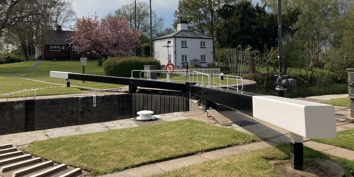
There is a layby where Nelson Road curves, which is suitable for parking. If this is not available, park further down the road with your vehicle partly on the grassy bank to avoid obstruction. Walk down the road to the Severn Way and head south where you will see the weir before arriving at the lock.

It has a delightful keeper’s cottage.
Holt Lock and Weir
The road leading to the lock is private; therefore, it’s best to park in The Holt Fleet Pub, which is for patrons only so this is a good excuse to stop for refreshments afterwards. Walk over the historic Holt Fleet Bridge and take the stairs on the left down to the road that leads to the lock. It’s difficult to see the weir; however, you can still hear the cascading water.
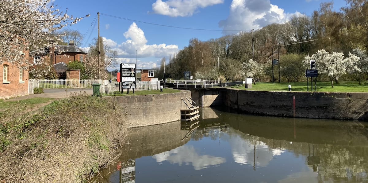
Holt is also the only working lock with its keeper’s cottage not on the lock island. It is a Grade II listed structure.
Bevere Lock and Weir
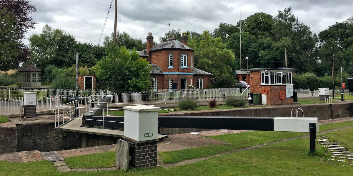
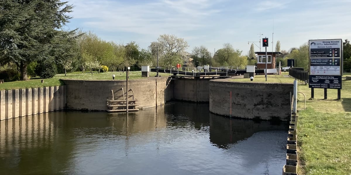
The road leading to the lock is private, so you’ll have to park in the nearby village of Grimley and walk down through the glorious Worcestershire countryside. As you approach the lock, you’ll pass Bevere Island and see Bevere Bridge in the distance.
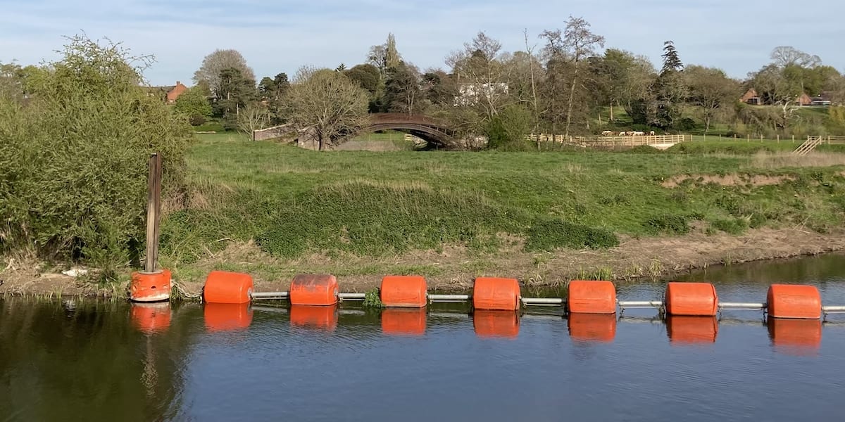
Keep walking south and you’ll see the weir before arriving at the lock.
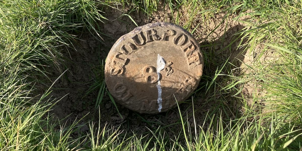
If you backtrack and walk north along the riverbank towards where the Droitwich Canal joins the Severn, you’ll see a cast-iron mileage marker that has been preserved from burial.
Diglis Locks and Weir
Park in the designated bays on Diglis Dock Road, you have a two-hour limit, which is plenty of time. Follow the road south until you reach the locks. Diglis is the only double lock on the Severn.
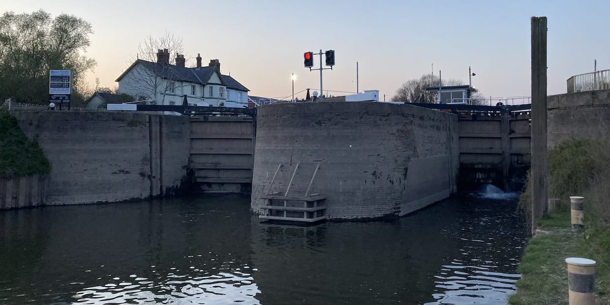
You can see the lock keeper’s cottage plus the former workshops and stables on Diglis Island across the locks that were built as part of the construction project. The site included a chapel or ‘Bethel’ for the navvies that worked on the site and the buildings were also used for accommodation [12]. All buildings are listed as Grade II structures.
Keep following the road south and walk onto Diglis Bridge, where you can get a great view of the locks and weir with Worcester Catherdral on the horizon.
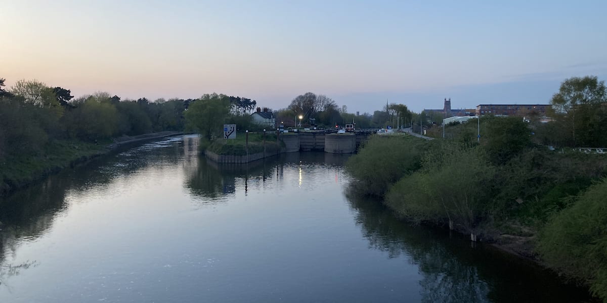
Upper Lode Lock and Weir
Upper Lode Lock is also known as Tewkesbury Lock. The road leading to the lock is private; however, there is a lay-by near the junction where it joins the public lane off the A438. Follow the private road and you will see the weir before arriving at the lock.
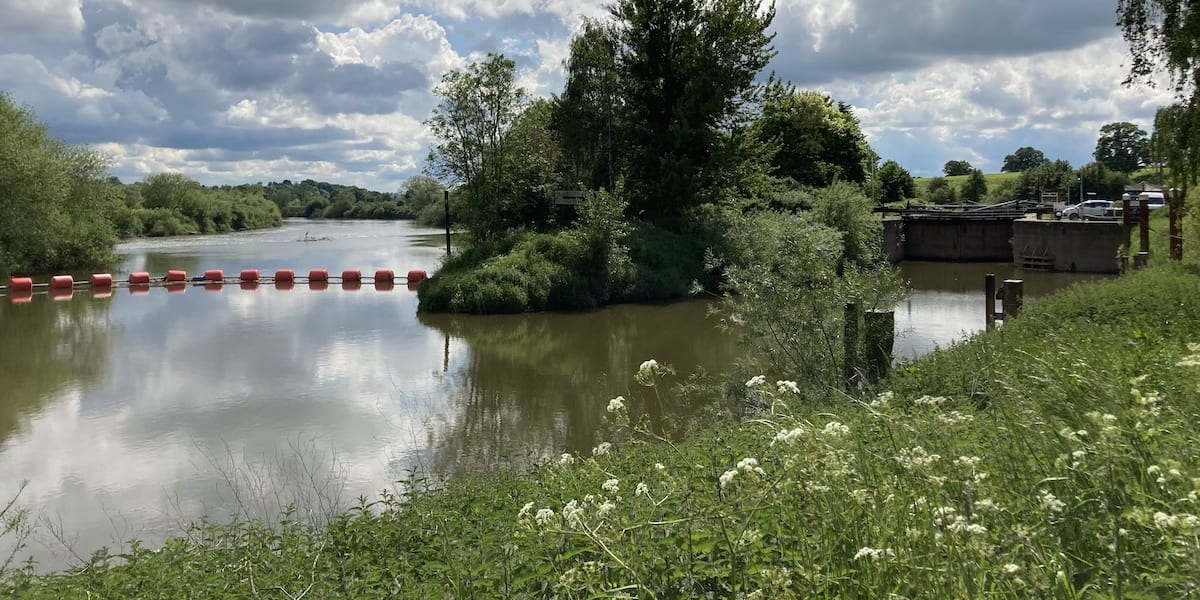
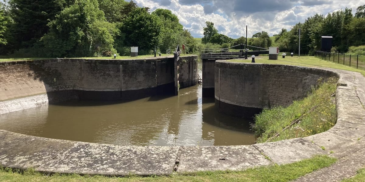
This is the only lock with a basin inside its chamber, which allows a tug and its whole tow to use the lock in one operation.
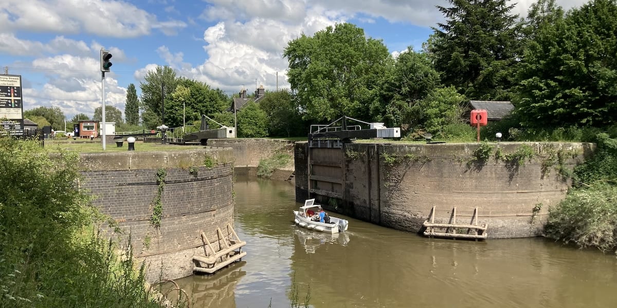
We were lucky enough to see the lock open for a small boat.
Llanthony Lock
Head through the gate and follow the signs to Castlemeads Car Park, where you will cross over to another path at the southern end. After passing underneath the A430, you’ll see a partial footpath that branches left from the main track into the grass. It takes you underneath an old railway bridge and round to the lock chamber.

You won’t be able to see the lock from above because the cottage and surrounding land is privately owned by the Herefordshire & Gloucestershire Canal Trust. They purchase the land in 2008 intending to restore the lock. As you walk through the lock chamber, you can see the remains of where the gate hinges would have been located.
The lock walls are still intact and walking around the chamber gives you a fantastic perspective of how it operated, albeit it is deeper than what you see. This photo from 1932 shows the lock whilst it was still in water.
If you head through the lock, you’ll join a path that takes you up to Over Bridge, which is worth the walk.
Maisemore Lock and Weir
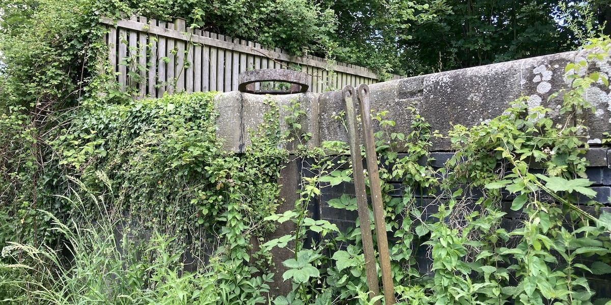
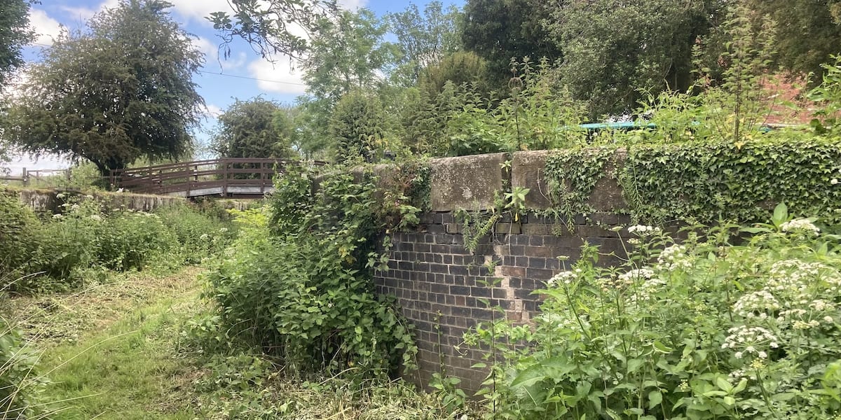
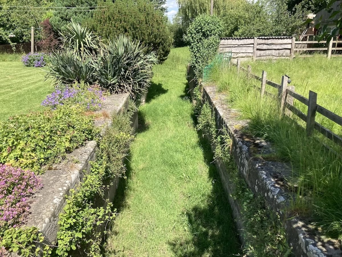
This lock is now located on private land; therefore, you will not be able to see it. However, we have provided some photos with kind permission from the landowners. The retaining walls on the approach to the lock have survived.
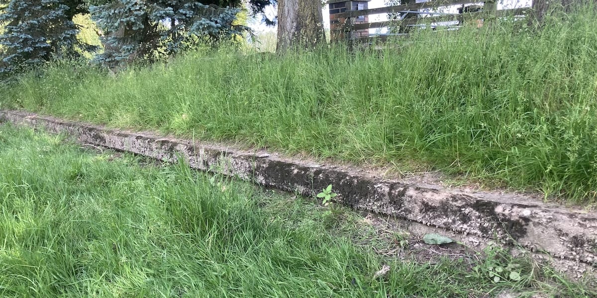
So has the lock chamber, albeit it’s a lot deeper than what you see. The gates still existed in 1976 but have now gone. The lock was filled with water pumped from the Severn by a steam engine because the river level was not deep enough to fill it naturally.
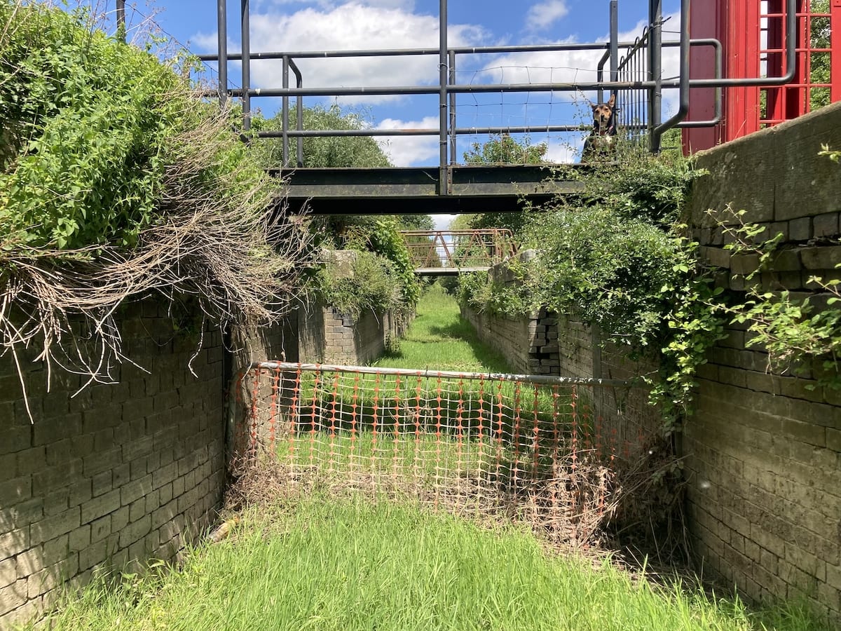
This is the only narrow lock on the Severn, because it was built to cater for boats entering and leaving the Herefordshire and Gloucestershire Canal at Over. The canal closed 10 years after Maisemore Lock was completed, and it continued to operate with very limited traffic accessing a coal wharf at Maisemore [2].
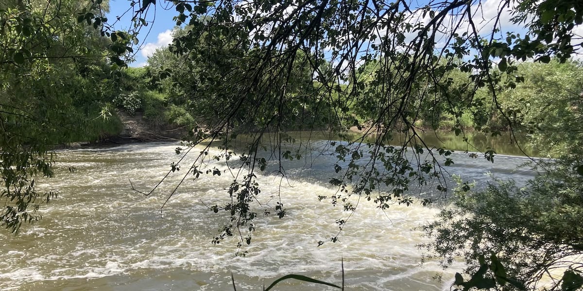
We were also fortunate to see the weir behind the lock keepers cottage, which is now a private residence.
History of the River Severn Locks & Weirs
Background
Before the locks were built, the tonnage of cargo carried up the Severn depended on the current and depth of the river. During the winter, there was usually enough water, but adequate depths in the summer were scarce. The river above Worcester contained many shallows of rock or gravel, which could only be passed by very small boats, or, for nearly two months in an average year, by none at all [1].
Where possible, boats used sails; however sometimes they had to be towed by gangs of six, eight, or more men who formed a rough towing path along the uneven banks, which was unsuitable for horses.
A suitable towing path for horses had been proposed at several meetings; however, by 1790, little had been done to improve the river’s navigation, which had experienced an increase in traffic since the completion of the Staffordshire and Worcestershire Canal in 1771 [2].
Chronology
1784 – William Jessop first proposes the construction of 14 locks and weirs when he was commissioned by the Staffordshire and Worcestershire Canal Company to estimate the cost of removing the shallows and improve river navigation [3].
1786 – A bill is submitted containing the majority of Jessop’s plans, which were slightly alerted by a re-survey carried out by George Young, who recommended 15 locks instead of 14. The bill is withdrawn due to opposition from influencers like Lord Dudley who were backing a new canal between Stourbridge and Worcester to bypass his competitor, the Staffordshire and Worcestershire Canal, which joined the Severn at Stourport [1].
1815 – The Worcester and Birmingham Canal is completed and connects to the Severn at Diglis near Worcester City Centre.
1827 – The Gloucester and Sharpness Canal is completed, which provides boats with a way to bypass the dangerous meander around Arlingham.
1836 – The Severn Navigation Company is formed due to concerns about interruptions to trade due to the inadequate river level. The consulting engineer, Thomas Rhodes, proposed the construction of weirs on two branches of the Severn at Gloucester, with a lock in the east channel, another lock near Upton, and three more between Worcester and Stourport. This would provide a depth of 12 ft between Gloucester and Worcester and 6ft thereafter to Stourport, enough for 100-ton barges. A toll of 6d a ton was proposed for the full scheme. A bill is submitted to parliament, multiple parties object for varying reasons.
1837 – The Worcester and Birmingham Canal Company along with the Gloucester and Sharpness defeat the bill proposing a new Severn Navigation Company on the grounds of opposing the formation of a private company to collect tolls rather than a trust. The Worcester and Birmingham were also prepared to borrow a substantial amount for dredging and constructing side cuts, thus obtaining a sufficient river depth between Worcester and Gloucester without the requirements of locks. Following the defeat of the bill, a revised proposal recommends lowering the depth to Worcester to 6 ft 6 in. with no works other than dredging lower than 17 miles above Gloucester, which lowers the estimated cost by 25%.
1838 – A new improvement company is formed by the Severn Navigation Company to introduce a new bill that proposes another solution with depth limitations and no tolls for boats trading above Worcester. Independent commissioners were to be used for inspecting completed works. Subsequent opposition from other parties ultimately led to the committee of the navigation company refusing to act, and all efforts come to a stop.
1839 – With no further solutions available, the Worcester and Birmingham Canal Company started to dredge the river themselves above Upton, so badly was action needed. This was halted the following year following the threat of legal action from the Corporation of Worcester who expressed deep concerns about the damage being done to the river from dredging.
1840 – The old navigation company is wound up. A public meeting is held in Worcester where the Severn Improvement Association was formed. A Severn Commission is setup who submit a new bill, which included revised versions of previous recommendations. It proposed five locks at a cost of £150,000 (£15.6 million in 2020).
1842 – Despite continual objections, the bill receives support from the majority of interested parties and is passed. Unable to charge tolls until the navigation is complete, the Commission cannot pay interest on the capital raised and so the project stalls until contractors Grissell & Peto from Lambeth agree to take it on for an agreed sum payable in guaranteed mortgage bonds. Only four locks are approved for construction.
1843 – The lock and weir at Lincomb are completed.
1844 – The lock and weir at Holt are completed.
1845 – The locks and weirs at Bevere and Diglis are completed.
1847 – The Commission start charging tolls following William Cubitt’s (chief engineer) certified minimum river depth of 6 ft during all seasons.
1848 – The Commission records a total tonnage of 450,000 and tolls of £11,336 (£1.38 million in 2020) at the end of their first financial year. This year along with 1851 sees the highest tolls collected until 1933.
Traders start complaining about the river depth not being maintained. Engineer Edward Leader Williams stated his proposed lock at Upton had been struck out of the 1842 Act. Cubitt broadly agreed but recommended a lock near Tewkesbury instead. Disputes inside and outside the Commission follow and bills to authorise the additional lock were lost.
1850 – River depth falls to 3 ft 6 in. and barges had to be lightened, and even then, were delayed. Droitwich salt barges reported taking four days to reach Gloucester. The position was now critical, and tolls were falling.
1853 – The Commission receives an Act authorising £53,000 (£6.9 million in 2020) to build a lock at Tewkesbury and to liquidate debts.
1858 – The lock and weir at Tewkesbury are completed.
1860 – The river between the lock at Tewkesbury and Gloucester was reported to be in an unsatisfactory state partly because the depth over the sill at the canal lock by Gloucester Docks was often not enough, partly due to the deteriorating state of the Gloucester channel. This prevented the regular employment of modern sea-going vessels and average tolls were also continuing to fall.
1869 – An Act embodies proposals based on those by Leader Williams and W. B. Clegram of the Gloucester and Sharpness Canal Company to throw more water into the Gloucester channel of the Severn using weirs at Maisemore and Llanthony, which also required locks to allow boats to and from the nearby Herefordshire and Gloucestershire Canal.
1870 – The weir at Maisemore is completed.
1871 – The weir and Lock at Llanthony are completed plus the Maisemore lock [2]. A fish pass is also constructed at Llanthony [6].
1894 – All locks from Lincomb to Gloucester are deepened except the one at Tewkesbury following the encouragement by the Chamber of Commerce and Corporation of Cardiff to widen waterways to generate more trade to Worcester.
1895 – Traffic on the Severn continues to fall, as does the tolls collected by the Commission [2].
1917 – The upper, lower, or both gates are replaced on all locks except Maisemore. Extensive repairs to the lock chamber and sluices are carried out at Bevere [8].
1920 – The last craft passes through Maisemore Lock.
1924 – The last craft passes through Llanthony Lock [2].
1926 – An oil depot is constructed by Diglis Docks on the Severn [4]. After years of declining traffic on the river, the sudden increase in demand for oil products transforms the finances of the Commission, which were also helped by the substantial revenue from the sale of condensing water to power stations [2].
The lock walls at Llanthony are in a dangerous condition and the lock remains closed until repairs are executed. The serious falling of tolls has made it difficult for the Commission to maintain the lock. The apron of Maisemore weir was repaired and a new crest in cement concrete was constructed to replace that in timber, which was decayed. Necessary repairs to the aprons of the weirs at Lincomb and Holt were also carried out. [5].
1933 – Increasing tolls provides funds to strengthen Llanthony Lock and pile the banks below the lock at Maisemore, which had been points of grave concern for some time [7].
1948 – The UK’s transport infrastructure is nationalised, the Severn Commission is abolished, and control of the river navigation is passed to the newly formed British Transport Commission, who also become responsible for all inland waterways [9].
1954 – The river was carrying motor craft with a maximum capacity of 280 tons to Worcester, and dumb barges with 330 tons [2].
1963 – The British Transport Commission (BTC) is abolished, and control of the river navigation passes again to British Waterways, a statutory corporation wholly owned by the government who take ownership of all inland waterways [10].
1964 – Oil traffic had fallen against the competition of pipelines and bulk trains. The total tonnage carried was 810,625 tons; of this, the main traffic was oil and timber to Worcester and Stourport, grain to Tewkesbury, aluminium to Stourport, and wood-pulp, copper, and zinc to Worcester [2].
2008 – The remains of Llanthony Lock, a pair of adjacent lock cottages, and the surrounding land was purchased by the Herefordshire and Gloucestershire Canal Trust after British Waterways decided to dispose of the site as a non-operational asset. The trust is in the process of restoring the lock to full working order [8].
2012 – The Canal & River Trust was formed and take control of all inland waterways in England and Wales from British Waterways [11]. This included the River Severn navigation and the trust operate the remaining locks to this day.
Lock dimensions
The locks at Lincomb, Holt, Bevere, and Diglis each measure 94 ft 7 in. (29 m) by 20 ft (6.1 m) to originally take craft carrying up to 150 tons.
The lock at Tewkesbury is larger measuring 112 ft (34.1 m) by 30.25 ft (9.2 m) with a pair of gates dividing it from a basin 153 ft (46.6 m) by 73.5 ft (22.4 m).
Sources
- ‘Navigator’, Observations on a ‘Design for Improving the Navigation of the River Severn, 1788, Stoke on Trent Public Library
- Charles Hadfield – The Canals of the West Midlands
- John Randall – History of Madeley
- Worcester News – When Worcester was largest inland oil port – Mike Pryce reflects on Diglis dock
- Evesham Standard & West Midland Observer – Saturday 11th September 1926
- Worcester Herald – Saturday 19th August 1871
- Gloucestershire Echo – Wednesday 7th September 1932
- Herefordshire & Gloucestershire Canal Trust – Canal Restoration at Llanthony Lock
- HM Government – Transport Act 1947
- HM Government – Transport Act 1962
- Canal & River Trust – The formation of the Canal & River Trust
- Bill Gwilliam – Old Worcester: People and Places

 Northwick Manor Heritage Trail