Rea Aqueduct
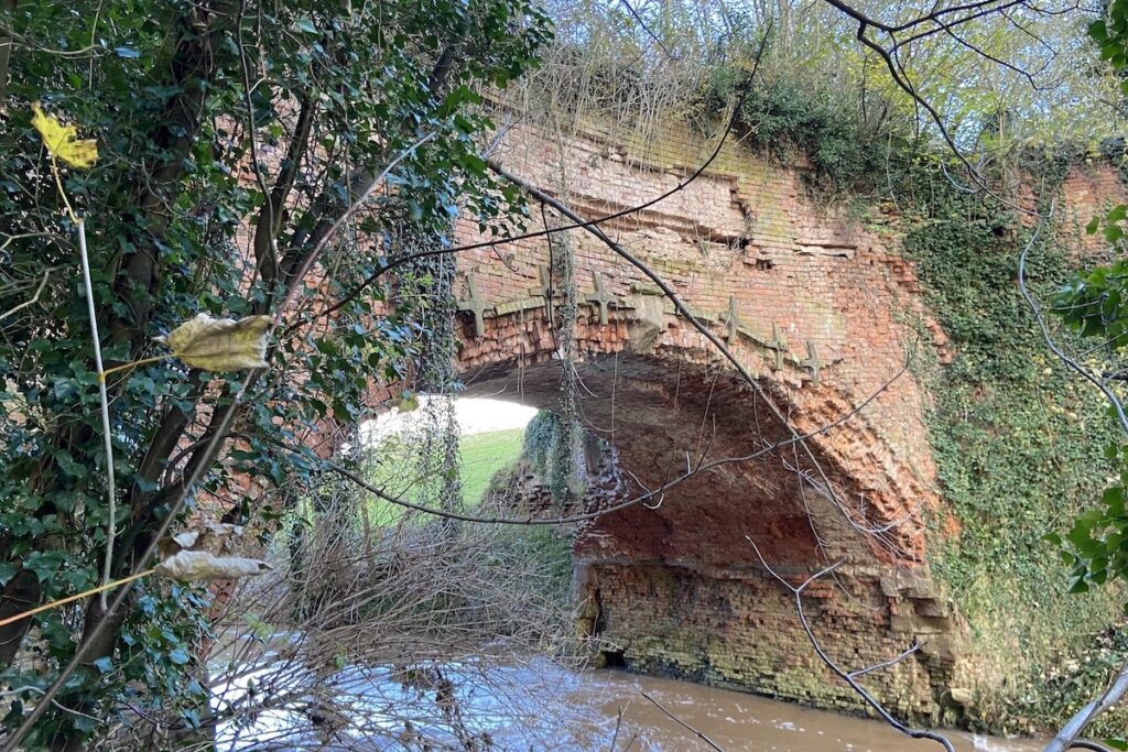
The Rea Aqueduct once conveyed the Leominster Canal over the River Rea. The canal, which became operational in 1794, proved to be financially unprofitable and suffered numerous structural issues, including problems with the aqueduct itself. In 1859, the canal was drained, and the aqueduct was repurposed as a footbridge. Unfortunately, the north face of the aqueduct collapsed in 2013. It now stands as a significant example of subpar canal construction, and it is only a matter of time before the aqueduct collapses entirely. Nonetheless, it offers an opportunity for a delightful walk through the countryside.
Key info
| Location | Newnham Bridge |
| County | Worcestershire |
| Completed | 1793 |
| Engineer | Thomas Dadford Junior |
| Heritage category | Listed Building Grade II |
Visiting guide
Open 24 / 7
Free entry
Free street parking
What can I expect when visiting Rea Aqueduct?
Begin your journey at the village of Newnham Bridge. Head north up the road from the A456 until you encounter an iron girder bridge that crosses the former track bed of the Tenbury and Bewley Railway. Unfortunately, this railway line is privately owned, so closer inspection is not possible.
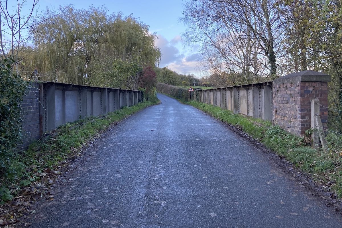
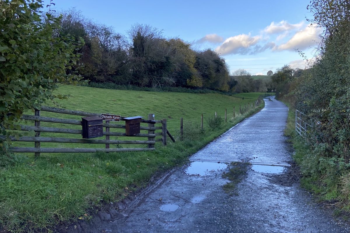
Continue along the road and then take the first right leading to Oxnalls Farm. This road follows the former towpath of the Leominster Canal, and you can still spot the former basin of the canal on the left, running parallel to the road.
Keep following the road until you reach a junction. Proceed straight through the gate, and you’ll still be able to see traces of the canal on the left.
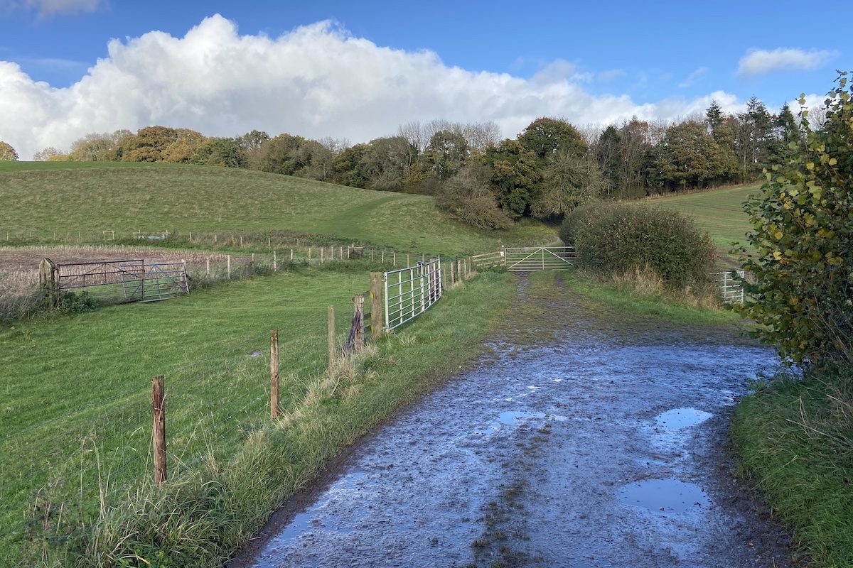
Follow the path, and you’ll come across the top of the southern portal of Newnham Tunnel sticking out of the ground.
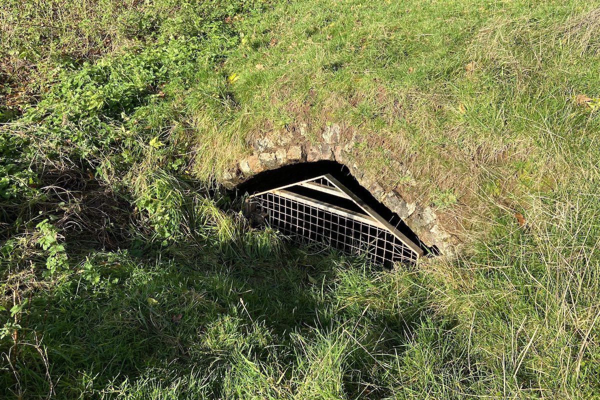
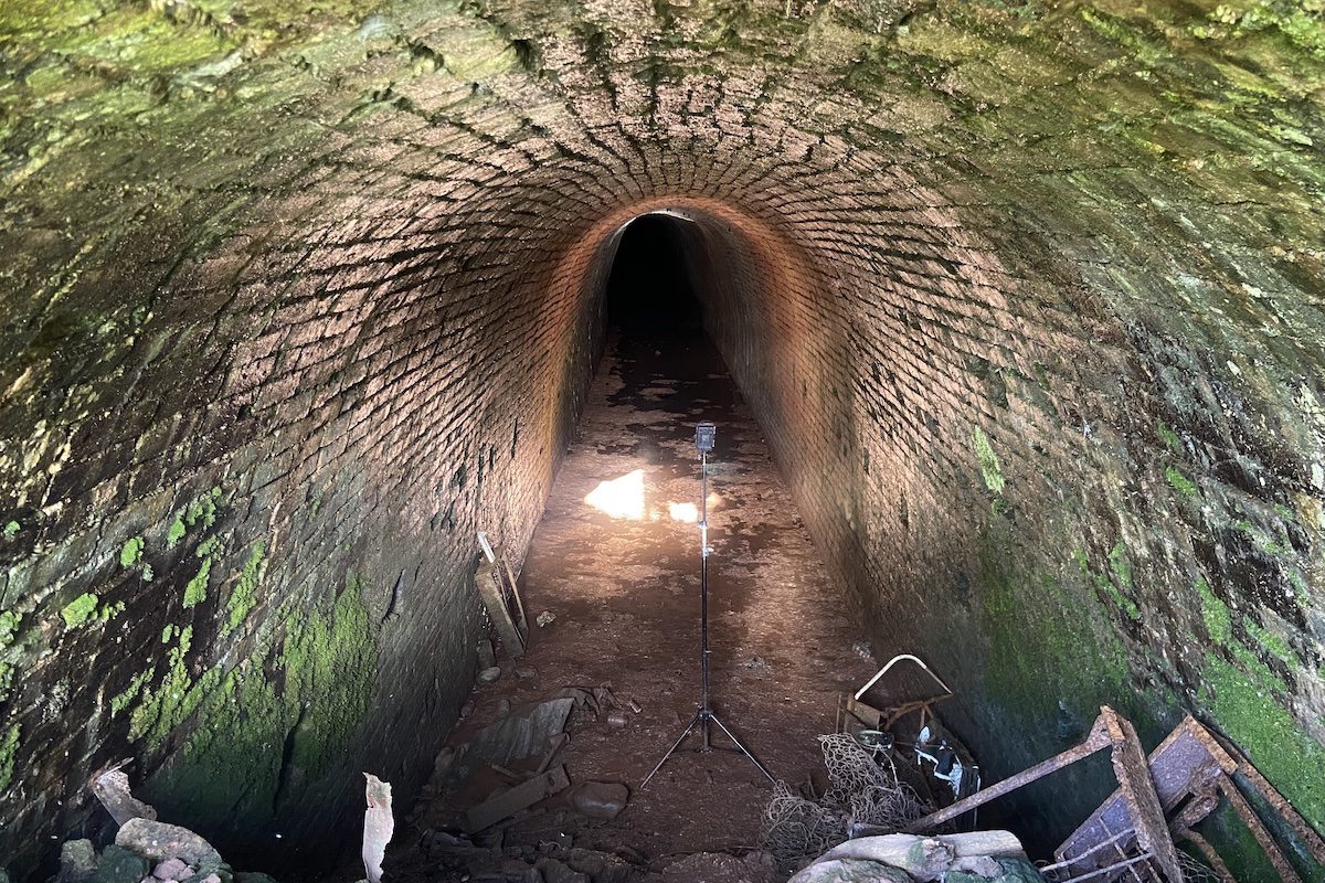
If you peer through the gate with your camera, you can catch a glimpse of the tunnel’s interior. The tunnel lacked a towpath, so canal carriers would lie on their backs at the top of the narrowboat and use their legs against the tunnel wall to push it through, a practice known as “legging.”
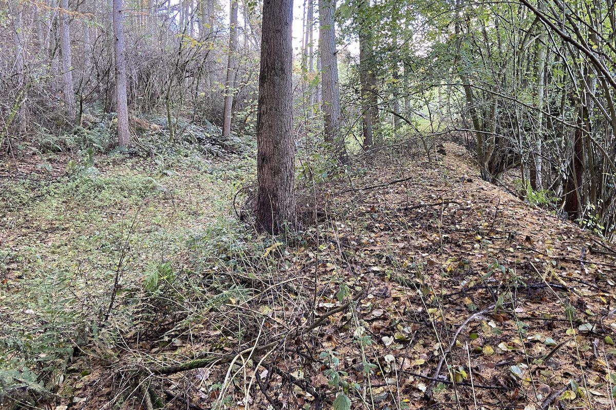
Continue on the path, pass through the metal gate, and follow it downward. You’ll come across a ravine indicating the location of the northern tunnel portal, which is now buried. Continue along the path, and you’ll return to the canal towpath, with the canal clearly visible on the left.
Eventually, you’ll encounter a barrier of felled trees. A new path veers left through a small gate. Take an immediate right through a larger gate and continue straight ahead, entering an open field. Follow the edge of the field to the left until you reach a gate in the distance. At this point, remnants of the canal have disappeared.
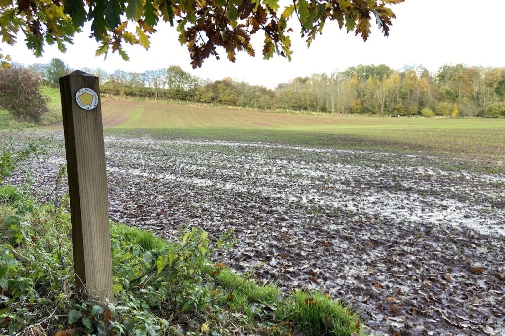
Pass through the gate and take an immediate left, following the arrow signs. Proceed through a double gate and continue across the field until you reach a kissing gate on your left.
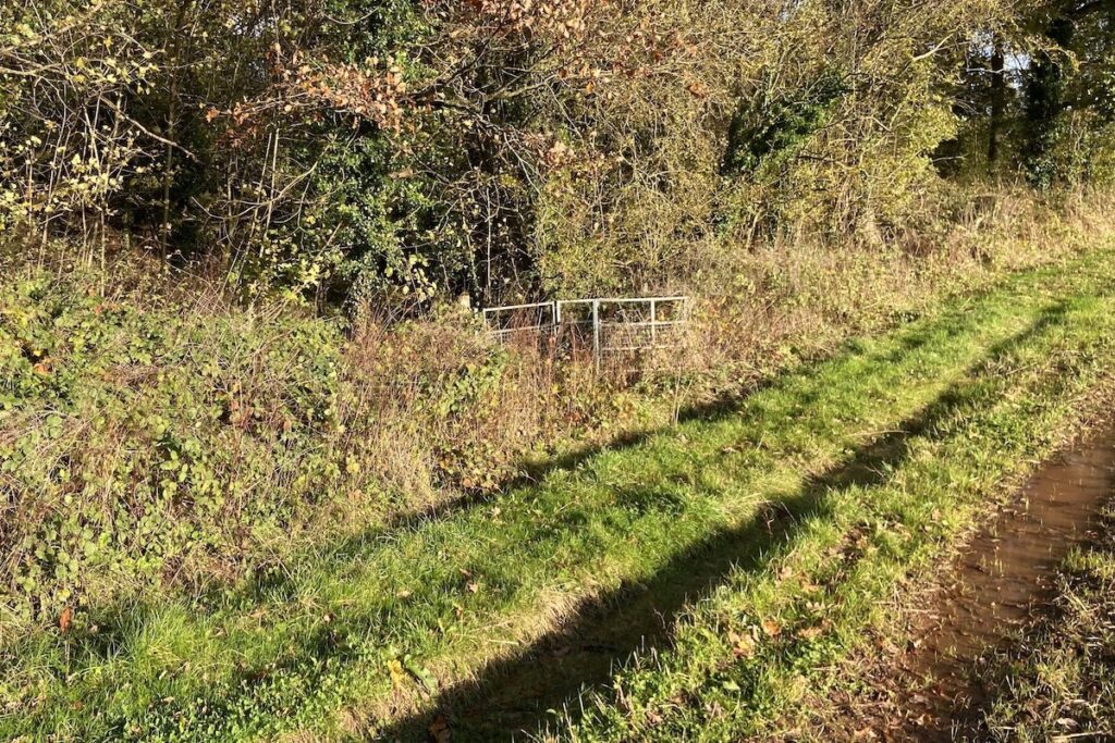
You are now back on the towpath of the canal, although it may be more challenging to recognise it here. Follow the path through another gate and descend an embankment, where you’ll find yourself once again on the former Tenbury and Bewdley Railway. The canal was drained in 1859 when it was acquired by the Shrewsbury and Hereford Railway Company after years of declining profits.
When construction of the Tenbury and Bewdley Railway began in 1861, it cut through the embankment of the drained canal. This is why there are no remnants of an aqueduct or other structures that would have carried the canal over the railway.
Continue along the path to the east, which again follows the canal towpath. Shortly, you’ll come across metal barriers blocking the path ahead, where it reaches the Rea Aqueduct. Unfortunately, the aqueduct is no longer safe to cross. Instead, take the path to the right, leading down to the river.
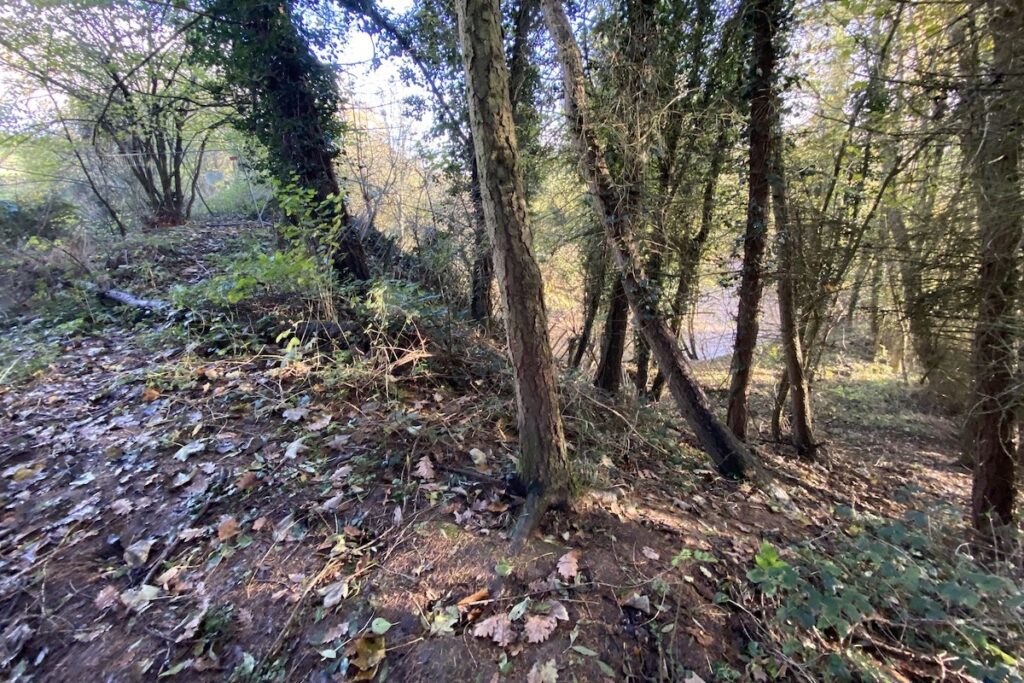
As you walk along the western abutment of the aqueduct, you’ll get a closer view of the deteriorating brickwork, with some bricks having snapped, revealing their internal material.
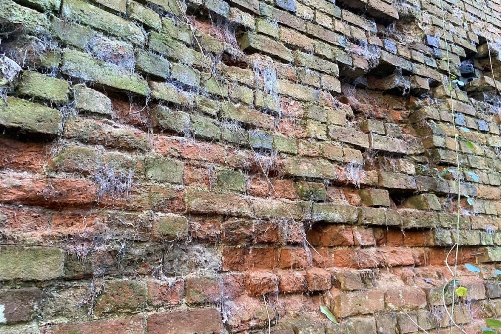
You can approach the aqueduct even closer for a better view. Pay attention to its ashlar keystone.
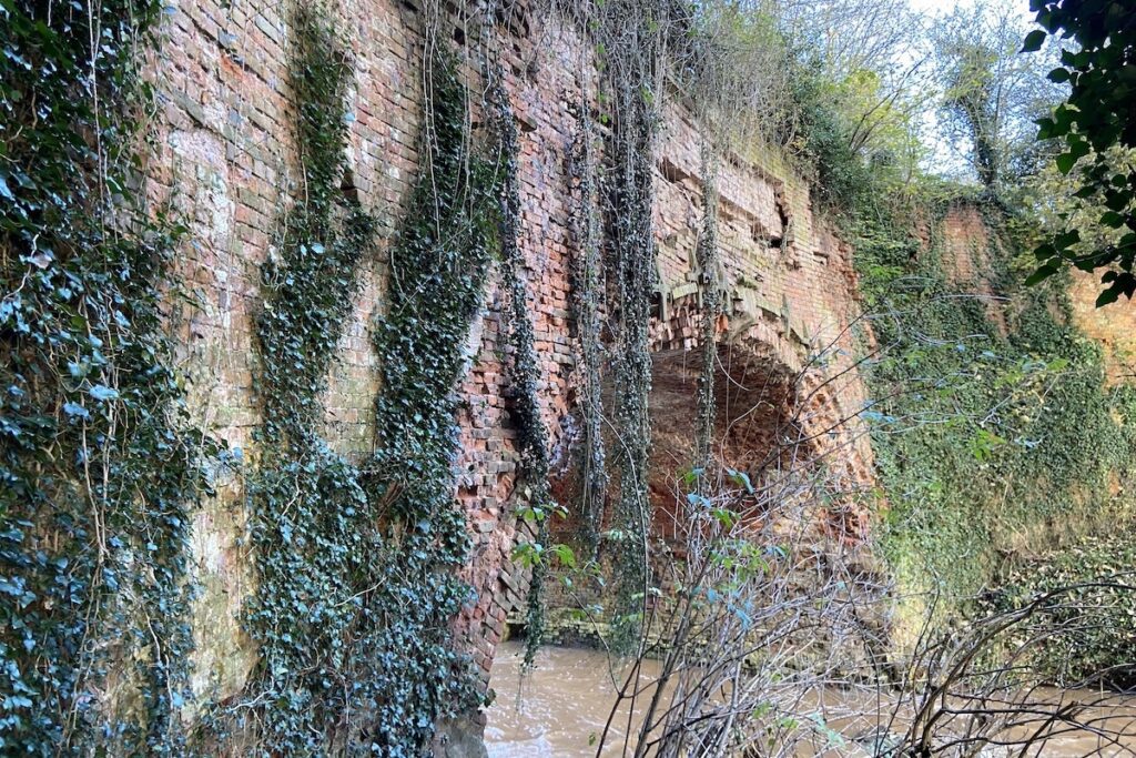
Regrettably, the northern face of the aqueduct collapsed into the river in 2013, a stark consequence of its inadequate design. Esteemed civil engineer John Rennie, who had designed multiple canals and bridges, was consulted by the canal owners after a partial collapse of the unfinished Southnet Tunnel to the east of the Rea Aqueduct raised concerns. His report highly criticised the design, workmanship, and supervision of the canal, including the Rea Aqueduct, which he noted was leaking.
Thomas Dadford Junior, the engineer of the Leominster Canal, could not allocate more than a quarter of his time to the project due to his contractual obligations as the engineer of the Monmouthshire Canal at the time. It’s worth noting that the canal owners were overly confident about the commercial success of the project, despite identifying low projected returns before the project was approved and Dadford was appointed as engineer. All these factors may have contributed to the poor quality of construction we see today.

Unfortunately, due to the collapse of the Rea Aqueduct, you cannot proceed any further, so it’s best to retrace your steps and return to your original starting point.
How long does it take to see Rea Aqueduct?
It will take approximately 1 hour to complete the route to the aqueduct as detailed above and return to the starting point.
Is Rea Aqueduct suitable for a picnic?
You will pass through multiple fields, which are private property. There is no decent space to setup a blanket so you may wish to take sandwiches and a flask of tea instead.
How do I get to Rea Aqueduct?
The aqueduct is located in a remote part of the Worcestershire countryside. The only way to reach it is on foot. Since the aqueduct has collapsed, you cannot proceed along the public right of way across the River Rea, so our guide recommends a return journey to the starting point.

 Shrewsbury Flaxmill Maltings