Lower & Upper Neuadd Reservoirs
Located in Bannau Brycheiniog National Park, the Neuadd Reservoirs hold a unique charm. While the lower reservoir has been discontinued, the upper reservoir was temporarily drained for essential repairs and currently lies empty. These reservoirs are surrounded by lush greenery, embraced by rolling hills, and provide an inviting environment for hiking, birdwatching, and leisurely picnics. The landscape, although distinctive, exudes tranquillity and offers breath-taking vistas of Pen y Fan, the highest peak in South Wales.
Key info
| Location | Bannau Brycheiniog National Park |
| County | Powys |
| Completed | 1884 (Lower) & 1902 (Upper) |
| Engineer | George F. Deacon (Upper) |
| Maintained by | Dŵr Cymru Welsh Water |
| Heritage category | Listed Building Grade II (Lower Building) & Grade II* (Upper Dam) |
Visiting guide
Open 24 / 7
Free entry
Free car parking (lay-by)
What can I expect when visiting Lower & Upper Neuadd Reservoirs?
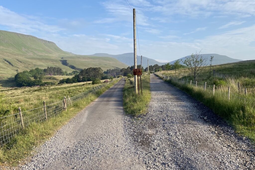
Our guide to Lower and Upper Neuadd Reservoirs begins at the layby located by the entrance barrier on the main road leading to the lower reservoir. From this point onward, access is limited to foot or bicycle. Follow the tarmac road, originally used as a standard gauge railway route during the reservoir’s construction.
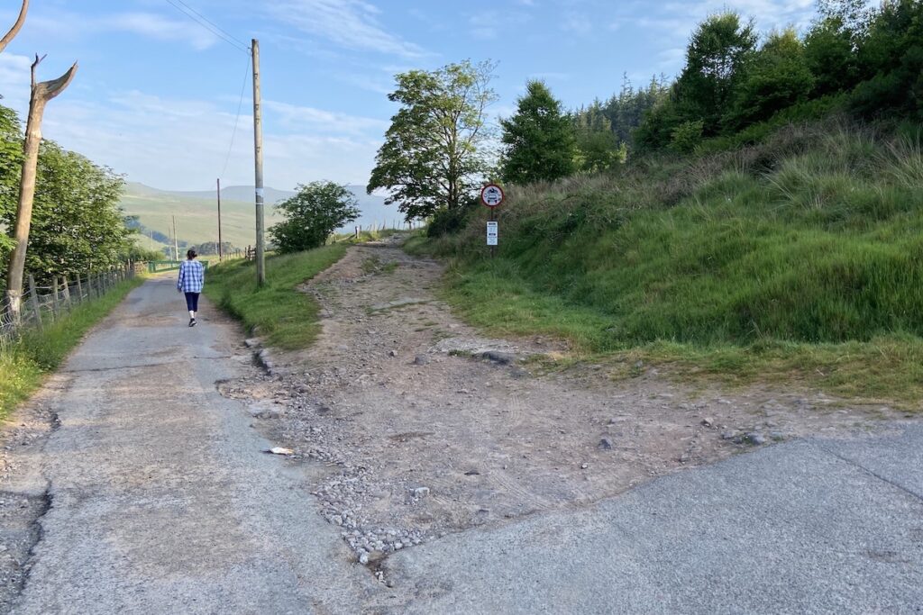
You will encounter a fork in the road, take the left route.
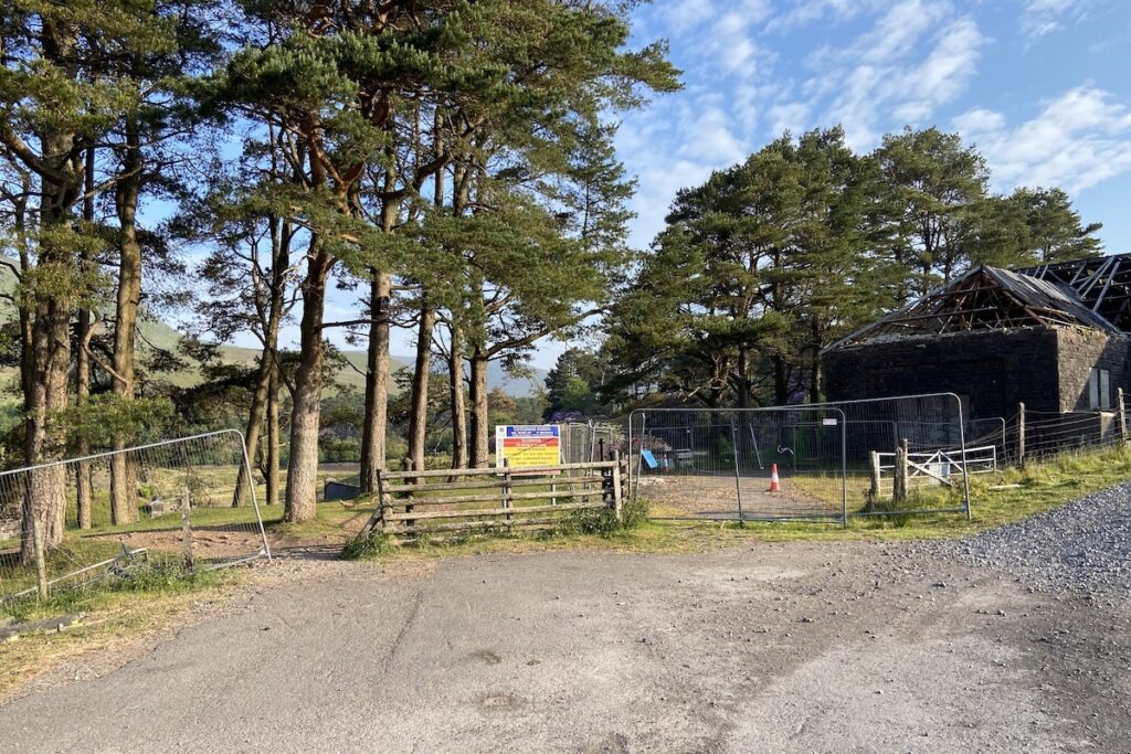
You will soon encounter the remains of the lower reservoir control building, which has sadly been a victim of arson. Head through the gap in the fence and follow the path straight.
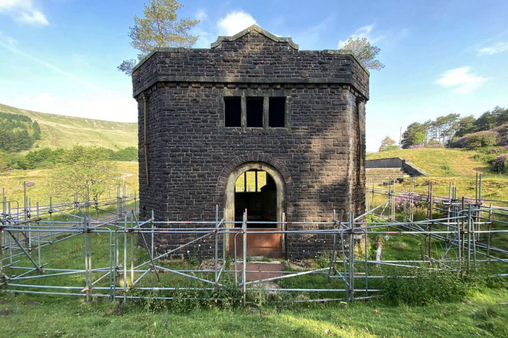
As you progress, a captivating view of the discontinued Lower Neuadd Reservoir unfolds. A portion of the embankment dam has been notched and replaced by a winding footpath, offering an alternative route to the upper reservoir. Take note of the octagonal valve house on the left and the overflow weir on the right.
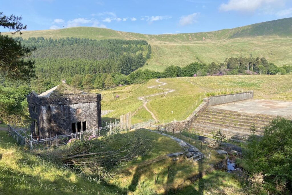
You may wish to head down for a close inspection of the valve house, which is a Grade II listed structure. Sadly, it has fallen into a state of disrepair.
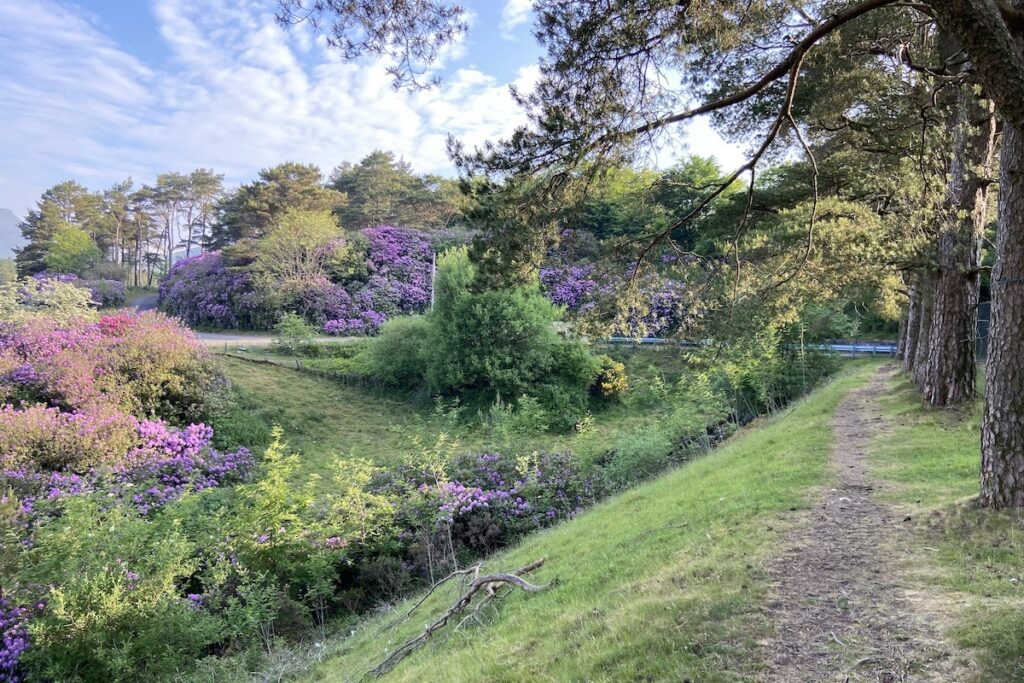
Head back up the bank and follow the path passing the burnt control building remains onto a road that will lead you to the upper reservoir. This route, too, traces the path of a standard gauge railway for the reservoir’s construction.
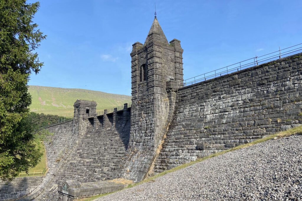
Following the road, the upper reservoir dam will come into view. Venture off-road towards the dam spillway. From here, you can admire the exquisite gothic dam tower. The spillway is traversed by a walkway supported by seven stone piers, rising from the dam’s sloping face.

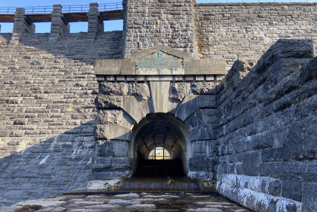
Descending to the spillway platform, you’ll find a view of the dam outlet tunnel, featuring a Piranesi-style arch. Above the tunnel, a bronze plaque reveals the dam’s opening date and key stakeholders.
Upon completing your exploration of the dam and its spillway, return to the previously mentioned road. Here, you’ll encounter a locked gate. Take the path to the right of the gate, which encircles the dam and leads into the former reservoir.
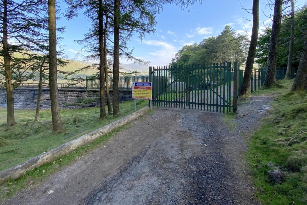
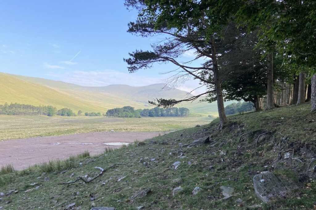
The reservoir shoreline is still visible in the landscape.
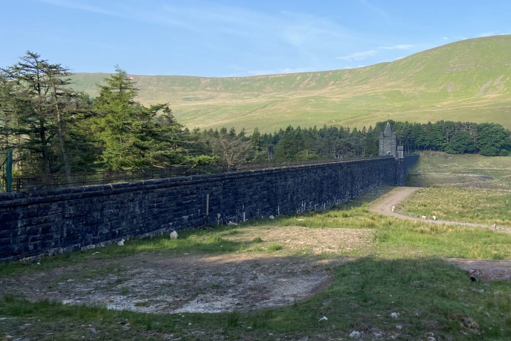
The disused dam sprawls across the Taf Fechan valley, resembling an unusual sight akin to a fortification. Grass has reclaimed the former reservoir’s grounds, and the Taf Fechan river flows naturally once more. Let’s head closer to the dam.
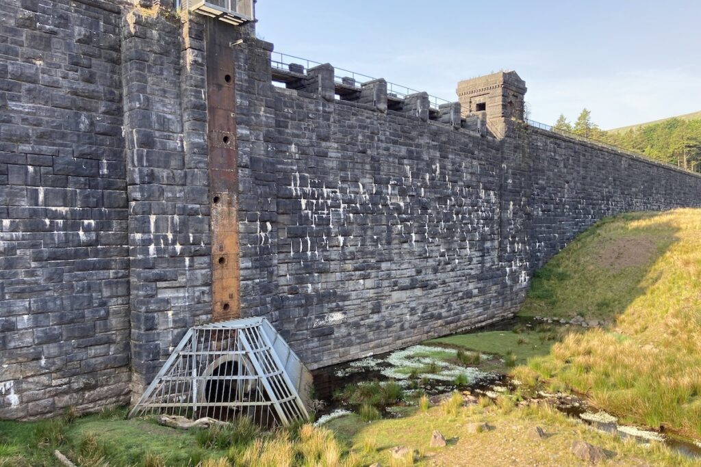
The Taf Fechan river continues to run through the tunnel outlet at the dam base. Notice the outlet pipes dotted up the cast iron column used to manage the reservoir at a lower level.
Turn northward for a magnificent view of Pen-y-Fan, South Wales’ highest peak, standing at 2,907 ft (886 m) above sea level. Look for the Taf Fechan gulley in the distance, originating from the peak’s source. The tree line circling the area marks the former reservoir’s full capacity boundary.
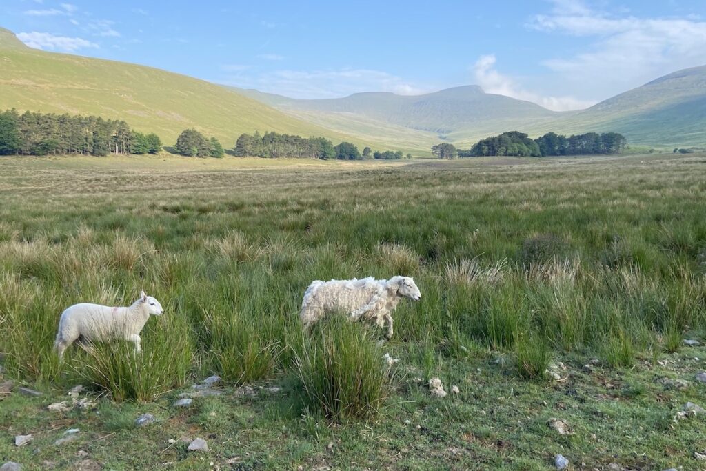
You may wish to explore more of the former reservoir and the Taf Fechan valley. Return from the road you entered once you are ready to conclude your visit.
How long does it take to visit Lower & Upper Neuadd Reservoirs?
To visit both Lower and Upper Neuadd Reservoirs, plan for approximately 2 hours and 30 minutes, starting from the point detailed in our guide. You might also consider extending your visit to explore more of the Taf Fechan valley.
Are Lower & Upper Neuadd Reservoirs suitable for a picnic?
Both reservoirs are located in the Taf Fechan valley, which has stunning and dramatic views of the Bannau Brycheiniog National Park, especially Pen y Fan, the highest peak in South Wales. There are plenty of idyllic spots for a picnic.
How do I get to Lower & Upper Neuadd Reservoirs?
Access to Lower and Upper Neuadd Reservoirs is facilitated by a small layby on the country road leading to the reservoirs, with space for about 5 vehicles. Please note that parking directly at the reservoirs is not possible due to a locked barrier at the layby.
For those arriving by train, the nearest railway station is Torpantau on the Brecon Mountain Railway, just over a mile (1.8 km) from the layby and barrier leading to the reservoirs. This heritage railway commences near Pant in northern Merthyr Tydfil. A bus station near the starting station provides services to and from Merthyr Tyfil, which has a public railway station connected to the national network.
History of Lower & Upper Neuadd Reservoirs
1884 – Lower Neuadd Reservoir is completed by the contractor William Jones of Neath. A standard gauge railway line was constructed from Torpantau Railway Station to deliver construction materials and labour to the reservoir site. This line was an early example of a purpose-built railway line for dam construction. The actual work on the site would be on a modest scale probably handles by steam cranes, winches, horses, and manpower.
1895 – The railway line to the Lower Neuadd Reservoir is extended north to the site of the Upper Neuadd Reservoir following the approval of an Act of Parliament.
1896 – Construction of the upper reservoir begins.
1902 – The Upper Neuadd Reservoir is completed by the contractor Holme and King of Liverpool. It’s top water level of 1,506 ft (459 m) puts it in the small and select class of British artificial lakes above 1,500 ft [1].
1960s – The upstream face of the upper reservoir dam was repointed, and the body grouted.
1983 – Stone drainage blankets were installed.
1990 – Additional repointing works were carried out.
2002 – The scour outlet pipework was vertically extended to provide a lower level bellmouth overflow. This reduced the reservoir top water level to approximately 6 m below the original spillway overflow level under normal conditions; however, the catchment is typically steep, mountainous moorland, so the reservoir can fill rapidly, such that the lowered reservoir level could be exceeded. Therefore, Welsh Water decided further remedial action was required [2].
2005 – The upper reservoir dam is first designated as a listed structure [3].
2014 – An intrusive site investigate concludes the cyclopean core in many lengths of the upper dam was no longer intact due to erosion from long-term leakage. Exploratory excavations against the upstream face of the dam confirmed the presence of substantial timber formwork, used to support the trenches during construction. This had degraded over time potentially providing seepage paths through the dam. Significant leakage was noted during a storm due to cracks in the upstream dam face resulting in water entering the heart of the dam. The overall conclusion stated the upper reservoir dam could not be relied upon at higher water levels.
Following a review of water resource availability, Dŵr Cymru Welsh Water concluded that although the reservoir is not currently required for water supply, it is considered likely that the asset will be required in the future as the effects of climate change and increased demand take effect. Therefore, permanent discontinuance of the dam was not a preferred solution.
2016 – The upper reservoir is drained, and construction works over a two-year period are completed to improve the stability of the upper reservoir dam. This included lining the main tunnel overflow with reinforced concrete.
2021 – The Lower Neuadd Reservoir was no longer used for the water supply and did not form a part of Dŵr Cymru Welsh Water’s resources management plan. Concerns about the condition of the embankment dam, the deteriorating spillway, and the high cost to bring the dam back into compliance resulted in a decision to discontinue the lower reservoir via notching the dam. This involved removing 60,000 m³ of dam material to permit the flow of a reformed river channel. 3000 m3 of silt from reservoir was also removed and all material was reused to create a landscape that blended with the surrounding area. The toe of the embankment was strengthened with rock armour. The dam outlet tunnel plug was removed, and the tunnel filled with foam concrete to ensure structural integrity for future use. A new footbridge was constructed over the reformed river creating a new path for walkers up to the upper reservoir [4]. The upper reservoir remains empty.
Architecture & dimensions
| Lower Neuadd Reservoir capacity | 75 million gallons (341 megalitres) |
| Upper Neuadd Reservoir capacity | 340 million gallons (1,546 megalitres) |
| Upper Neuadd Reservoir dam height | 75 ft (23 m) |
| Upper Neuadd Reservoir dam base thickness | 46 ft (14 m) |
The Upper Neuadd Reservoir Dam is a remarkable feat of masonry and concrete construction. Its core is composed of massive, rugged stones known as cyclopean rubble, while the exterior is adorned with locally quarried dressed limestone from Dowlais. This dam boasts a straight design with a sloping face and a distinctive quarter-round moulded stone coping. Flanking either side of the central spillway are two imposing towers.
The spillway itself is spanned by a walkway supported by seven stone piers, rising from the sloping face of the exceptionally high, rock-faced stone main dam. At the base, the dam’s face gracefully curves outward to form a gentler slope. This central structure is bordered by raised sections that follow a similar slope and bear the weight of the two towers.
The north-eastern tower is notably larger, featuring a square-plan design with banded rusticated angle piers, a modillion cornice that extends around the piers, and tapered square finials adorning each corner, leading up to a stone spire. In contrast, the southwestern tower is shorter and square in the neo-classical style, sporting the same banded rusticated angle piers and modillion cornice. However, it is capped with a substantial blocking course above a gabled southern facade. The southern side includes a low lunette window with stone voussoirs and cast-iron glazing bars, with a door on either side and stone balcony facing south[3].
Sources
- Bowtell, H. D. and Hill, G. (2006) Reservoir Builders of South Wales. Rayleigh: Industrial Locomotive Society.
- Walding, N. and Grosfils, R. (2016) Upper Neuadd Dam Stability. Available at: https://waterprojectsonline.com/ (Accessed: 17 October 2023).
- Cadw (2022) Full Report for Listed Buildings. Available at: https://cadwpublic-api.azurewebsites.net/reports/listedbuilding/FullReport?lang=&id=84824 (Accessed: 17 October 2023).
- Skanska (2021) Lower Neuadd Reservoir (2021). Available at: https://waterprojectsonline.com/custom_case_study/lower-neuadd-2021/ (Accessed: 17 October 2023).

 Tar Tunnel