Teme Aqueduct
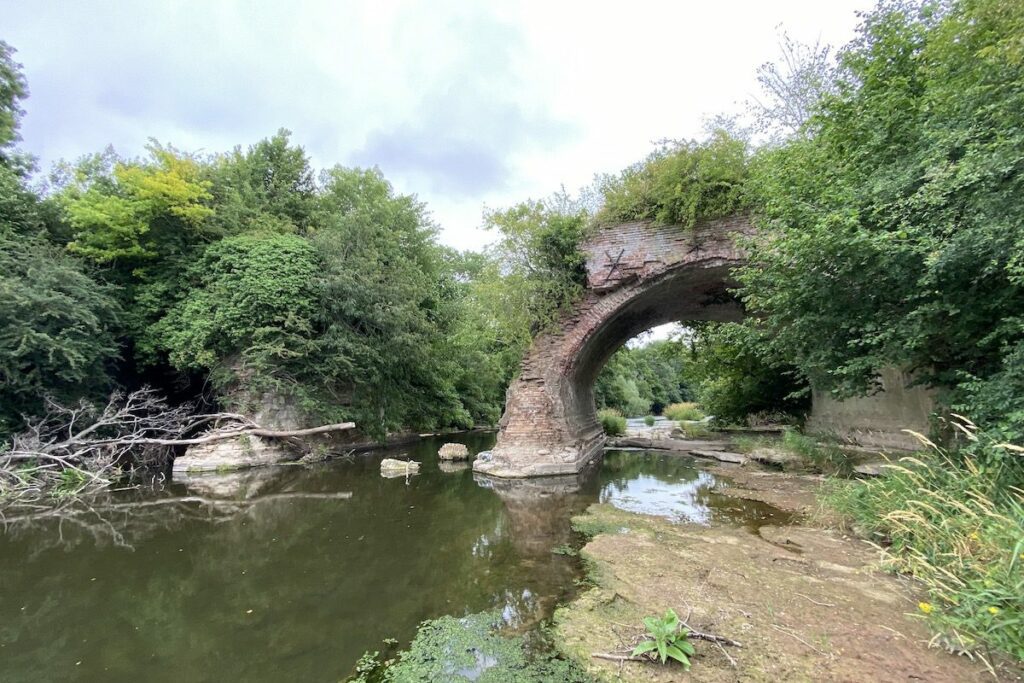
The Teme Aqueduct once carried the Leominster Canal over the River Teme. The central arch was destroyed during a training exercise in World War Two. It now stands as a beautiful ruin waiting to be explored.
Key info
| Location | Gosford |
| County | Shropshire |
| Completed | 1796 |
| Engineer | Thomas Dadford Jnr |
| Listed status | Grade II |
Visiting guide
Open 24 / 7
Free entry
Free car parking (lay-by)
What can I expect when visiting Teme Aqueduct?
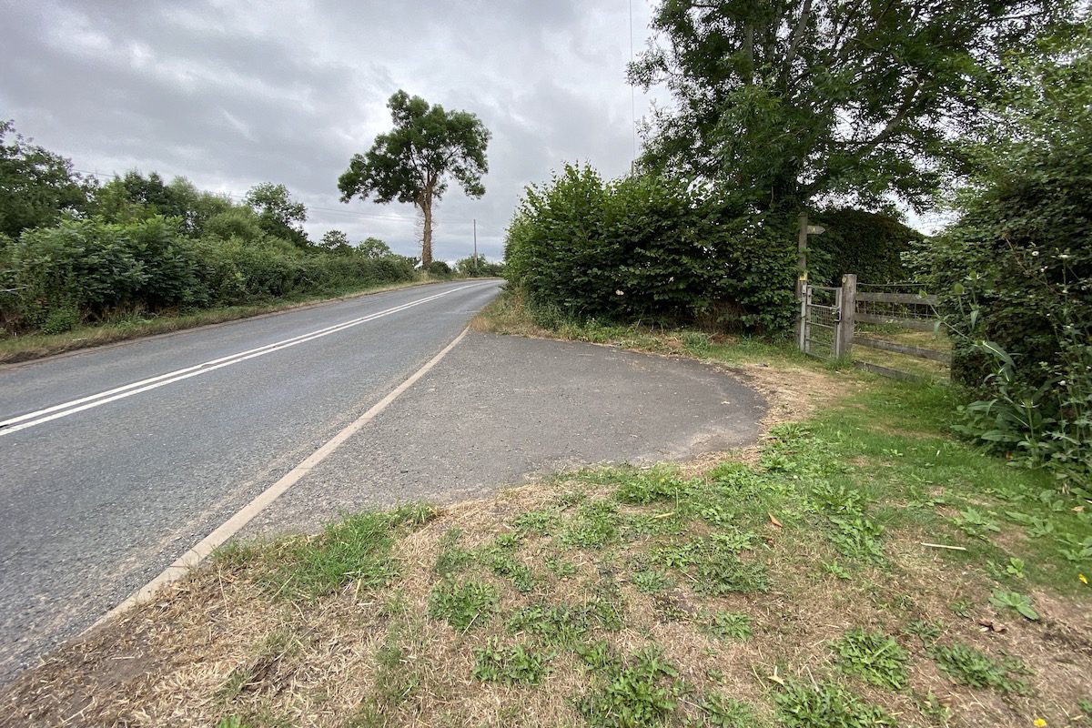
You can see the aqueduct from the north and south banks of the River Teme; however, you will get a better view from the south. Start from the A456, there is gate near the bridge by Gosford Farm, walk through and cross the stile further up.
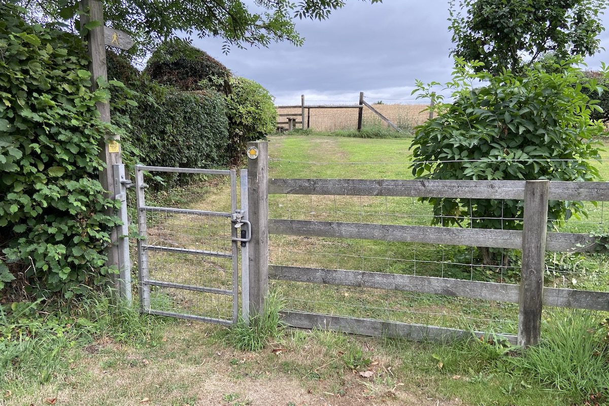
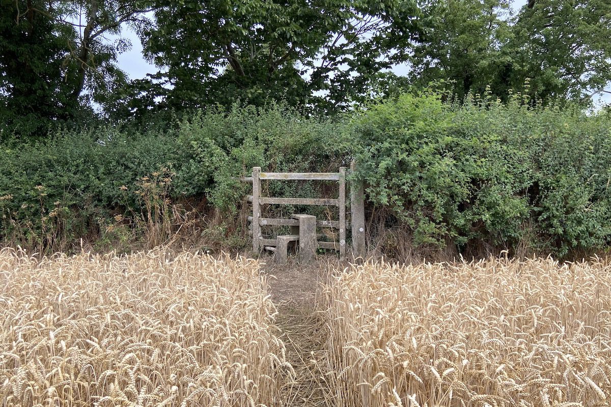
Continue straight across the field, it is a public right of way. You will then come to another stile, cross over and follow the path down.
You will reach the trackbed of the Tenbury and Bewdley Railway. Look to your left, the canal would have continued into the distance; however, the railway company acquired the land, filled in the canal, and built their railway track over.
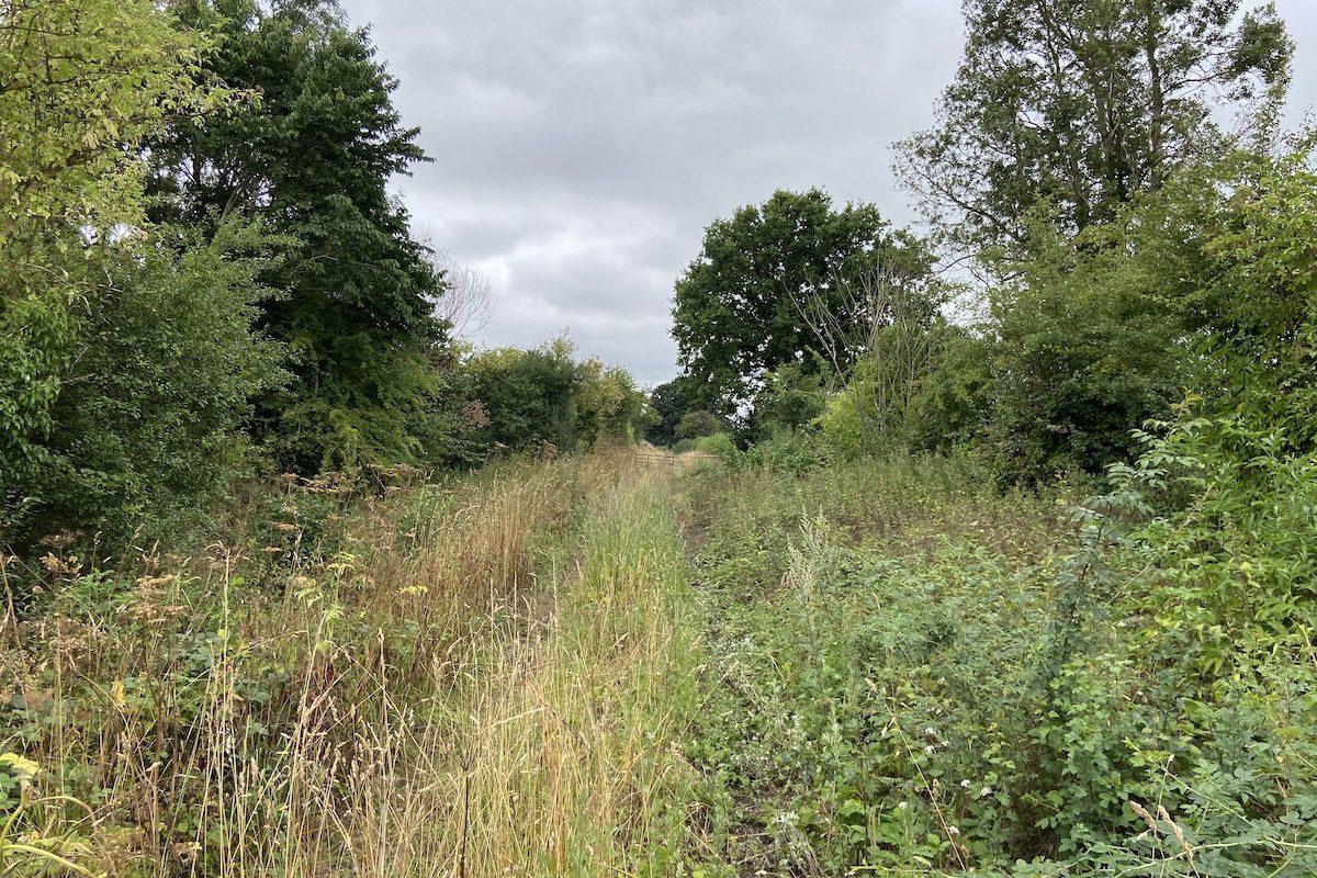
We’re not going to walk down the railway track through. There is a stile to your right opposite the path you came from. Cross it and continue along the path.
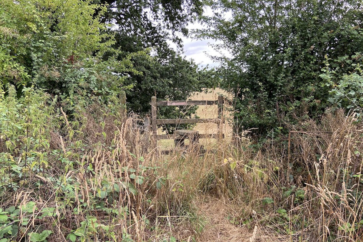
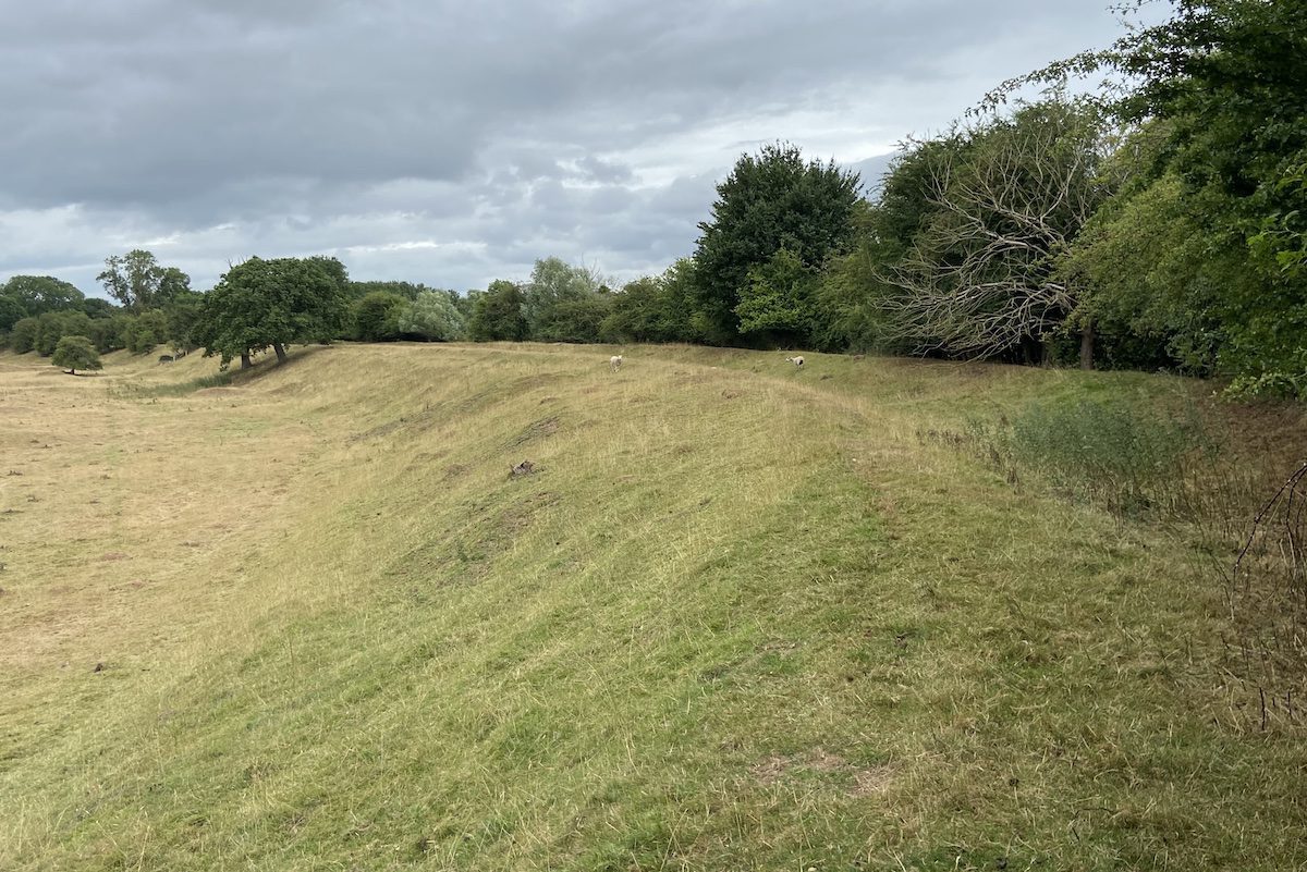
The original canal and its embankment are now visible, curving around the edge of the field in front. Follow the towpath along the embankment.
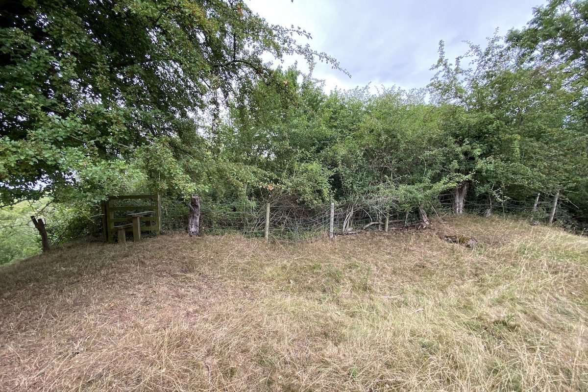
You will then reach the southern entrance of the aqueduct. The canal pound has been completely overgrown. Don’t be fooled by the stile, it leads to nowhere.
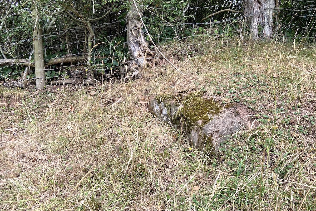
One towpath stone is still visible, which marks where the canal pound narrowed as it entered the aqueduct.
There’s not much else to see so head down the canal embankment where you will get an immediate view of the ruined aqueduct and its southern abutment. Can you spot the blue plaque?
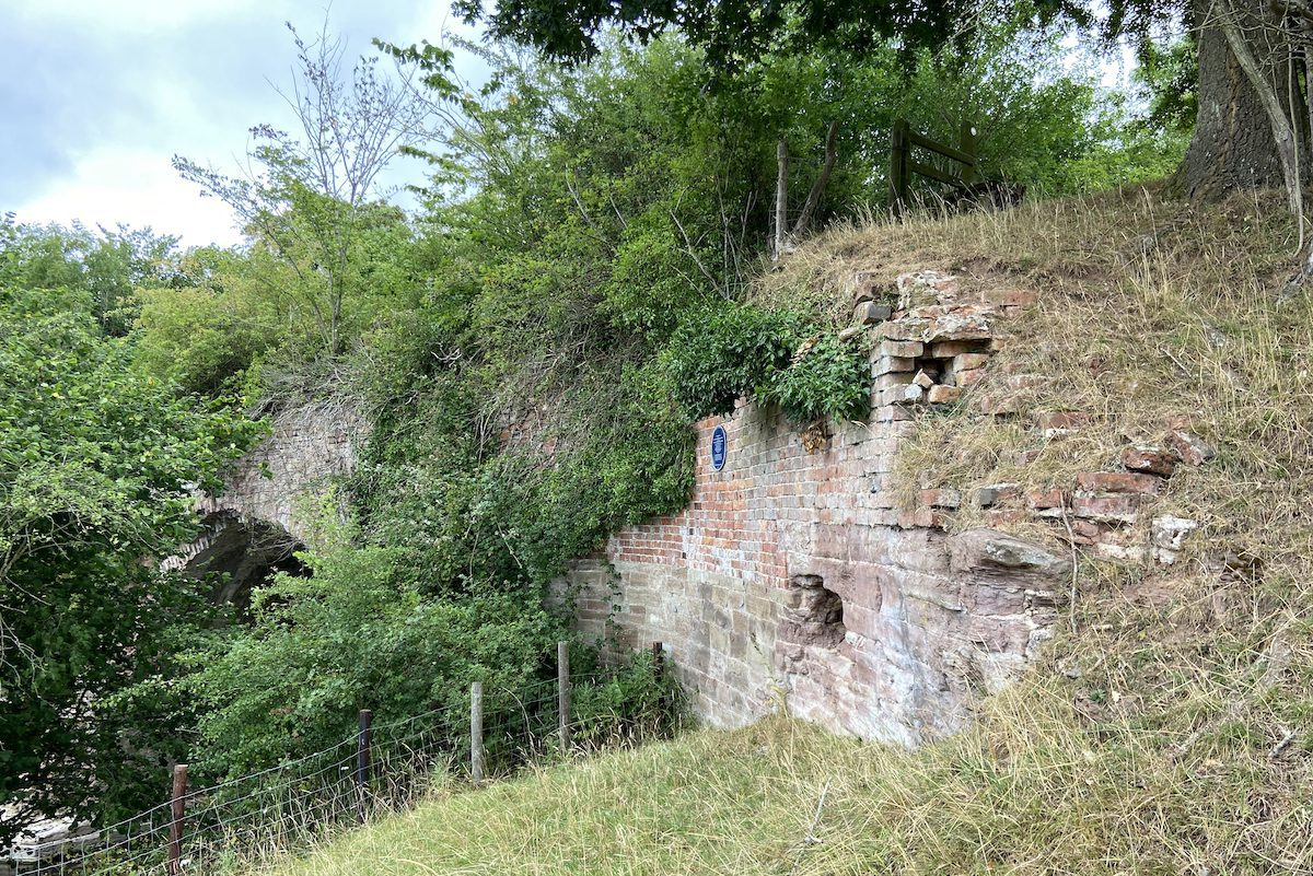
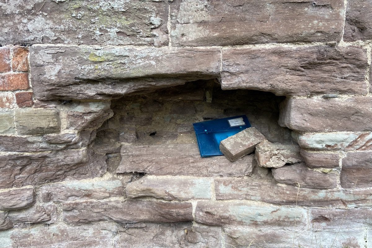
The recess in the abutment contains a visitors’ book, feel free to sign.
If you are visiting during a dry summer, the River Teme will be low. This gives you a fantastic opportunity to walk on the protruding riverbed and view the aqueduct from below. Cross the small fence in front of the blue plaque and carefully climb down.
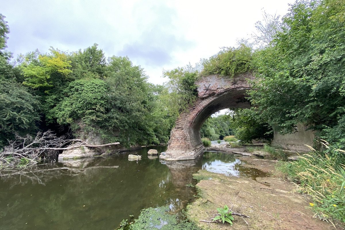
You can even walk under the intact arch to inspect the damage when the aqueduct was blown up in World War Two during a training exercise.
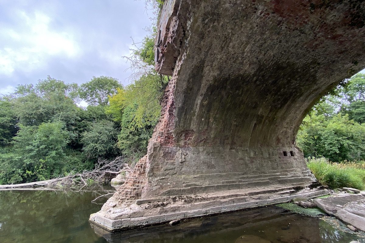
The debris from that explosion is still visible in the river.

When you are ready to leave, head back the way you came.
How long does it take to visit Teme Aqueduct?
It will take you roughly 40 minutes to see the aqueduct, which includes your return journey from the starting point.
Is Teme Aqueduct suitable for a picnic?
The canal embankment is suitable for picnic. It provides a great platform for viewing the countryside and the Wooferton transmitting station in the distance.
How do I get to Teme Aqueduct?
If you are arriving by car, park on a small tarmac layby in front of the starting gate. It is located a stone’s throw from the bridge that carries the A456 over the Brimfield Brook.
The bus is the only way to travel to the aqueduct by public transport. There are stops in Woofferton outside the Salwey Arms, then it’s a 20-minute walk down the A456. Please note, this road does not have a pavement and uses the national speed limit.
Architecture
The aqueduct consisted of three arches. The central arch was destroyed leaving two remaining arches on the north and south banks of the River Teme. The arches are constructed from brick with ashlar voussoirs and springer stone. The stone at the head of each arch was replaced with brick. The aqueduct contains stone cutwaters and side wall with brick parapets and vestiges of ashlar coping. Star-shaped iron tie-rods ends below parapet [1].
Sources
- Historic England (2020) Teme Aqueduct at NGR. Available at: https://historicengland.org.uk/listing/the-list/list-entry/1383773 (Accessed: 03 August 2022).

 Stack Pool