Great Central Walk Rugby
The Great Central Walk follows the route of the last mainline railway that was constructed by the Victorians as a fast trunk route between London through the East Midlands to the North. Its closure in the 1960s was controversial. A small section of the line through Rugby is now used as a pathway for pedestrians and cyclists.
Key Info
| Location | Rugby |
| County | Warwickshire |
| Total length | 4.3 miles (6.9 km) |
| North walk length | 1.6 miles (2.6 km) |
| South walk length | 1.6 miles (2.6 km) |
Trail route
There are two sections of the Great Central Walk; however, this guide covers the north trail only (highlighted orange). If you wish to complete the entire walk, follow the connecting route (highlighted pink) that will join the south trail below (highlighted red).
North trail guide
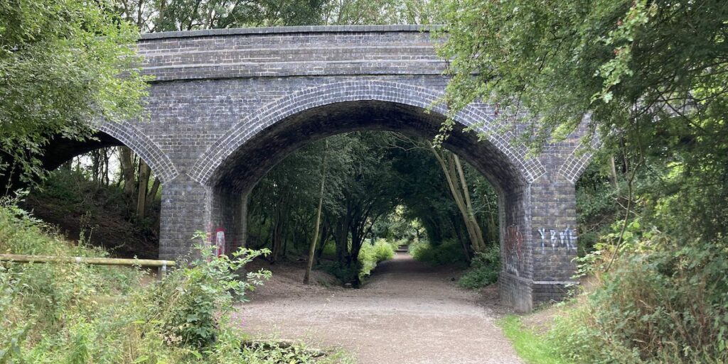
Head south from the car park down the zig-zag path. You will see the bridge ahead carrying Newton Lane. The area is now a designated wildlife site for rare butterflies.
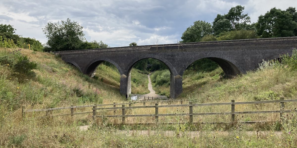
Continue along the walk until you reach a curious little siding where a signal box would have stood.
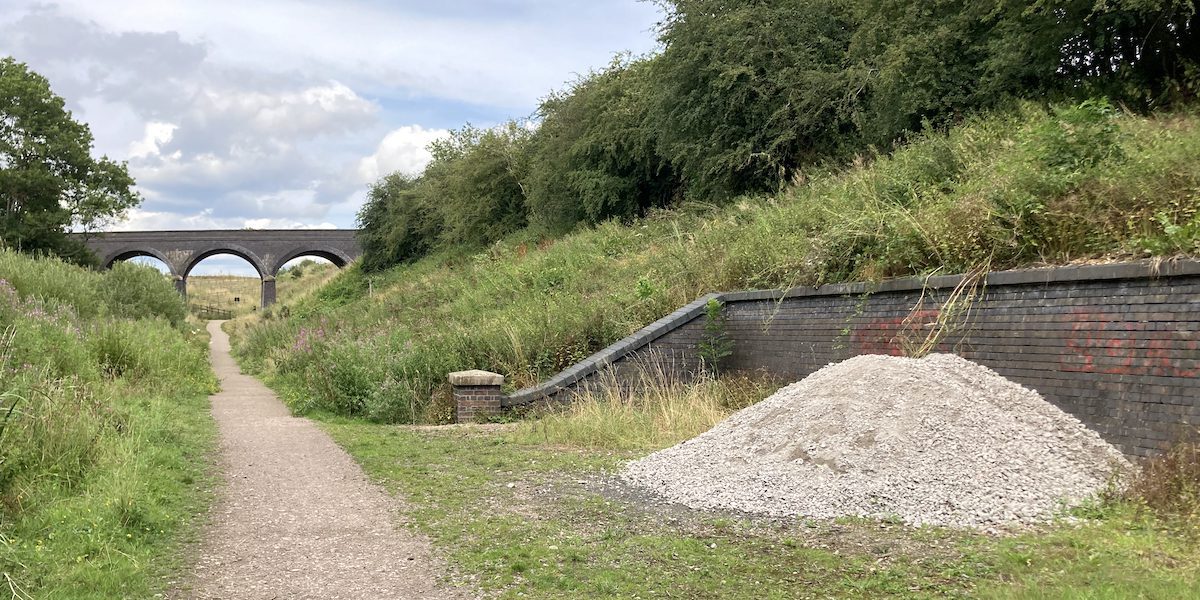
The next bridge you will arrive at was constructed to carry a footpath, which originally connected Newton to Coton Manor.

Continue along the walk to the next bridge, which carries the line over a bridle road.
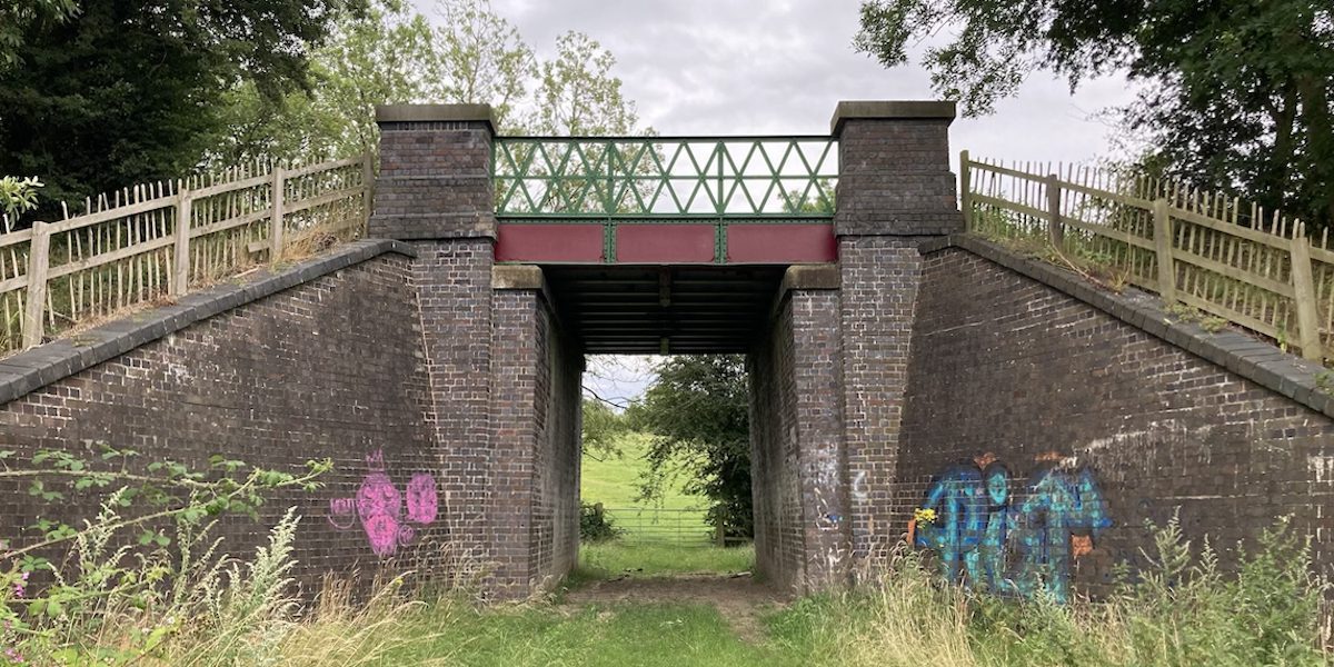
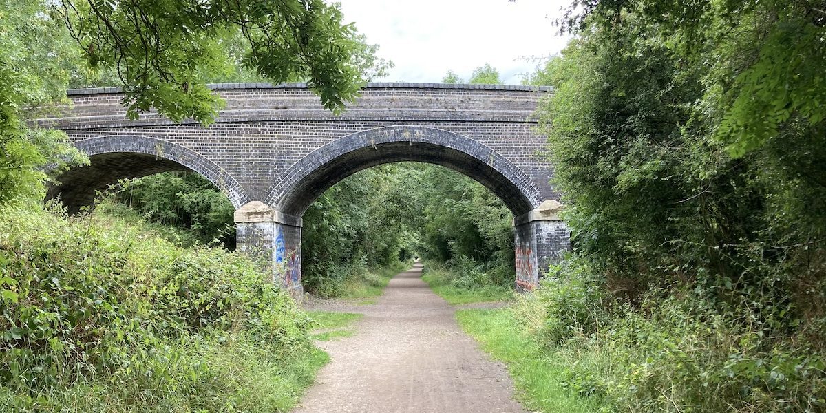
The next bridge carries a footpath over the railway, which originally connected Newton with Brownsover. It now functions as a handy route for residents of the adjacent housing suburb.
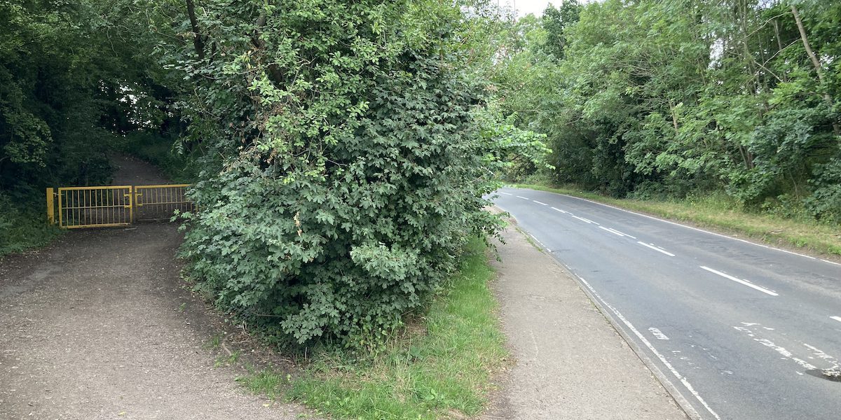
You will then arrive at Newton Manor Lane. The railway would have originally crossed over the lane via a bridge; however, it no longer exists, and the embankment has been modified to accommodate the route of the modern road. Follow the path down through the yellow barriers, cross the lane and head towards a road called Crowthorns. You can pick up the walk again using an entrance next to the junction of Crowthorns and Newton Manor Lane by the speed limit sign.
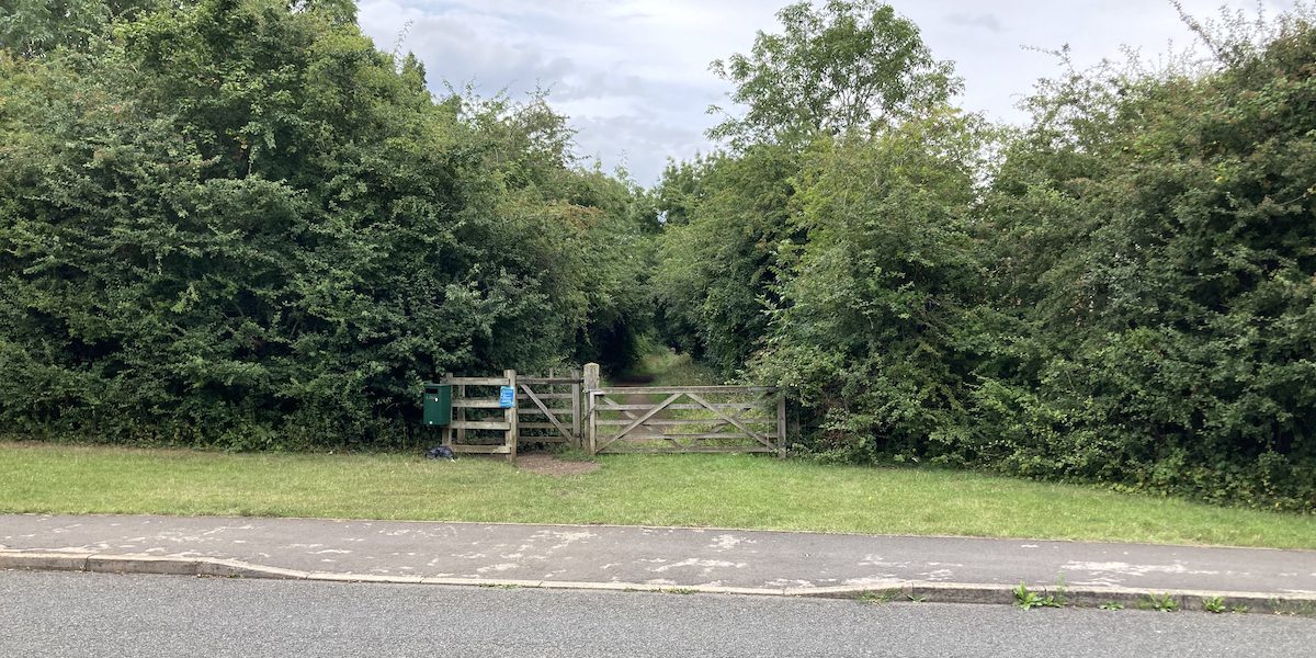
Continue along the walk until you arrive at Staveley Way. This is a new road, which did not exist at the time of the railway’s construction. The embankment has been levelled to accommodate the route of the new road. Cross over and head through the gate.
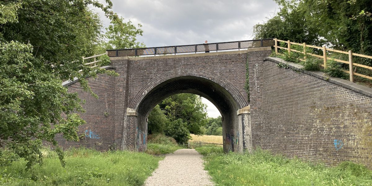
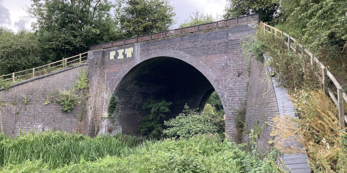
The next bridge carries the railway using a towering arch over what was a footpath and bridle road. The route is now part of the Avon Way.
As we approach the end of the route, you will cross the River Avon. A gigantic arch carries the railway over the river, which is quite overgrown at this point.
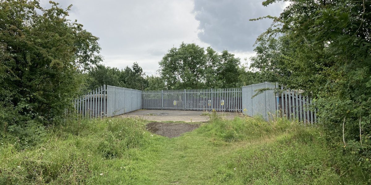
Metal fencing ahead marks the end of the walking route. The railway would have continued along a girder viaduct that crossed the Oxford Canal.
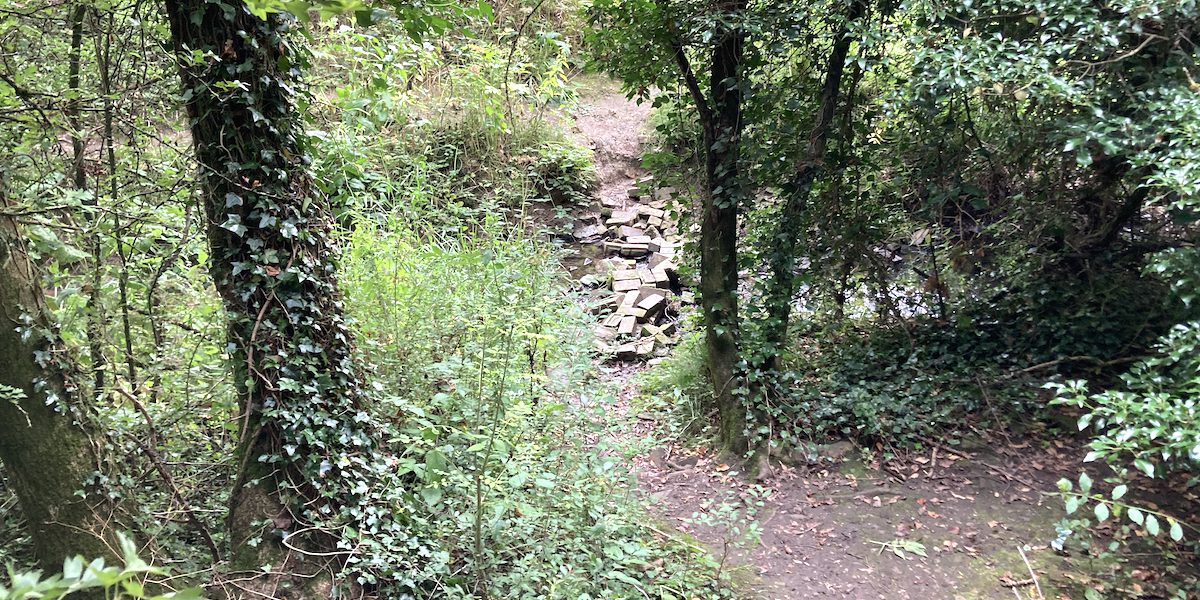
There is a path to the right that leads down to the canal where you can still see the foundations of the bridge columns and a plethora of bricks scattered about.
Turn around a follow the walk back up to where you started at the car park.
Visiting guide
How long does it take to walk the trail?
It takes one hour to walk the northern section of the Great Central Walk.
What wildlife does the Great Central Walk offer?
The Warwickshire Wildlife Trust does a lot of work to maintain this wildlife habitat and many different species of rare and endangered wildlife can be seen on the walk including 24 species of butterfly, such as marbled white and common blue, and birds ranging from kestrels and warblers in the breeding season to redwing and fieldfare in the winter [9].
How do I get to the Great Central Walk?
There are two car parks at each end of the entire walk. For the north section, use the car park off Newton Lane. For the south section, use the car park off Ashlawn Road next to St Andrews Rugby Football Club.
The Great Central Walk takes you through central Rugby so there are ample options for arriving by public transport.
History of the Great Central Walk
1847 – The Manchester, Sheffield, and Lincolnshire Railway (MS&LR) came into existence as a result of an earlier company amalgamating with three lines that had not yet been completed [1].
1864 – Sir Edward Watkin becomes chairman of the MS&LR. Following the success of the Midland Railway’s extension into London, Watkin sets out to construct his own line into the capital. His plan goes one step further, which visualises the extension to London as part of a great railway linking the UK to Europe via a ‘Channel Tunnel’. The MS&LR begins extending south to Annesley above Nottingham.
1891 – The new 92-mile railway connecting Annesley with London is surveyed by Charles Liddell. The first bill to construct the railway was submitted to parliament and thrown out due to a cascade of objections from rival companies, local authorities, an artist colony, and cricketers from the sacred turf at Lords, which lay near the proposed line.
1893 – A second bill is passed after a series of alterations were proposed by the GCR to alleviate the concerns raised by the objectors.
1894 – Construction of the main line, dubbed the ‘London Extension’ begins. The work is split into seven contracts, which use 9,450 men. The total cost of the project factoring in compensation and the construction of new houses that were demolished is a staggering £11.5 million (£1.53 billion in 2020). The 74-year-old Watkin relinquishes control of the company after a lifetime of railway politics.
1897 – The MS&LR changes its name to the Great Central Railway, anticipating the opening of its ‘London Extension’.
1898 – Coal trains begin using the Great Central Railway (GCR) main line.
1899 – The line opens to passengers [2].
1921 – The GCR is amalgamated into the London and North Eastern Railway, one of the ‘Big Four’ railway companies.
1948 – The GCR main line is nationalised.
1959 – A plan to discontinue local trains is proposed amidst fierce opposition [3].
1963 – Twelve stations close on Sundays [4].
1966 – Minister of Transport, Mrs Barbara Castle approves the closure of passenger services between Aylesbury and Rugby and between Nottingham and Sheffield [5].
1969 – The remaining line is closed [6].
1970 – 25.5 acres of the line between Pytchley Road and Onley Lane is purchased by Rugby Borough Council for £5,500 (£87,000 in 2020) following a preservation campaign led by the Rugby Natural History Society [7].
1979 – Another 72 acres of the line between Hillmorton and Brownsover is purchased by the council for £5 on the understanding they will maintain the bridges along the stretch [8].
Sources
- Grant, Donald J. (2017) Directory of the Railway Companies of Great Britain. Kibworth Beauchamp: Matador.
- Rolt, L. T. C. (1996) The Making of a Railway, The Building of The Great Central. Stroud: Sutton Publishing Limited.
- (1959) ‘Great Central Rail Closures Plan Opposed’, Leicester Evening Mail, 24 July, p. 7.
- (1963) ‘Stations’ Sunday Closing’, Coventry Evening Telegraph, 02 January, p. 9.
- (1966) ‘Minister Agreed to a Rugby Rail Closure’, Coventry Evening Telegraph, 25 April, p. 11.
- (1969) ‘End of the line for the Great Central’, Birmingham Daily Post, 15 February, p. 37.
- (1970) ‘Public Ideas Sough on Rail Line Future’, Coventry Evening Telegraph, 9 January, p. 53.
- (1979) ‘Old rail land is bargain at…£5’, Coventry Evening Telegraph, 25 August, p. 12.
- Rugby Borough Council (2012) Parks and open spaces – Great Central Walk (runs from Newton Village to Onley Lane). Available at: https://www.rugby.gov.uk/directory_record/259/great_central_walk_runs_from_newton_village_to_onley_lane/category/60/nature_areas (Accessed: 19 August 2021).

 Ravensthorpe Reservoir